
Residents in Sarnia, Ontario, are preparing for a major weather shift this week as a bitter cold start quickly turns into unseasonably warm temperatures and rain. According to Environment Canada, the city started March 2, 2026, with a morning low of -9°C and a wind chill that felt like -17 following light snow.
The weather is expected to change rapidly, with temperatures climbing to a high of 13°C by Saturday, March 7, 2026. On Tuesday, March 3, 2026, there is a risk of freezing rain late in the morning as the transition from winter weather to rain begins. This warmup represents a swing of 22 degrees in just a few days.
The City of Sarnia may use its Significant Weather Event’ protocol to manage salt and de-icing as the ice forms. Drivers and commuters should watch for slushy roads and black ice throughout the week, especially at night when meltwater is likely to refreeze on the pavement while the ground remains cold.
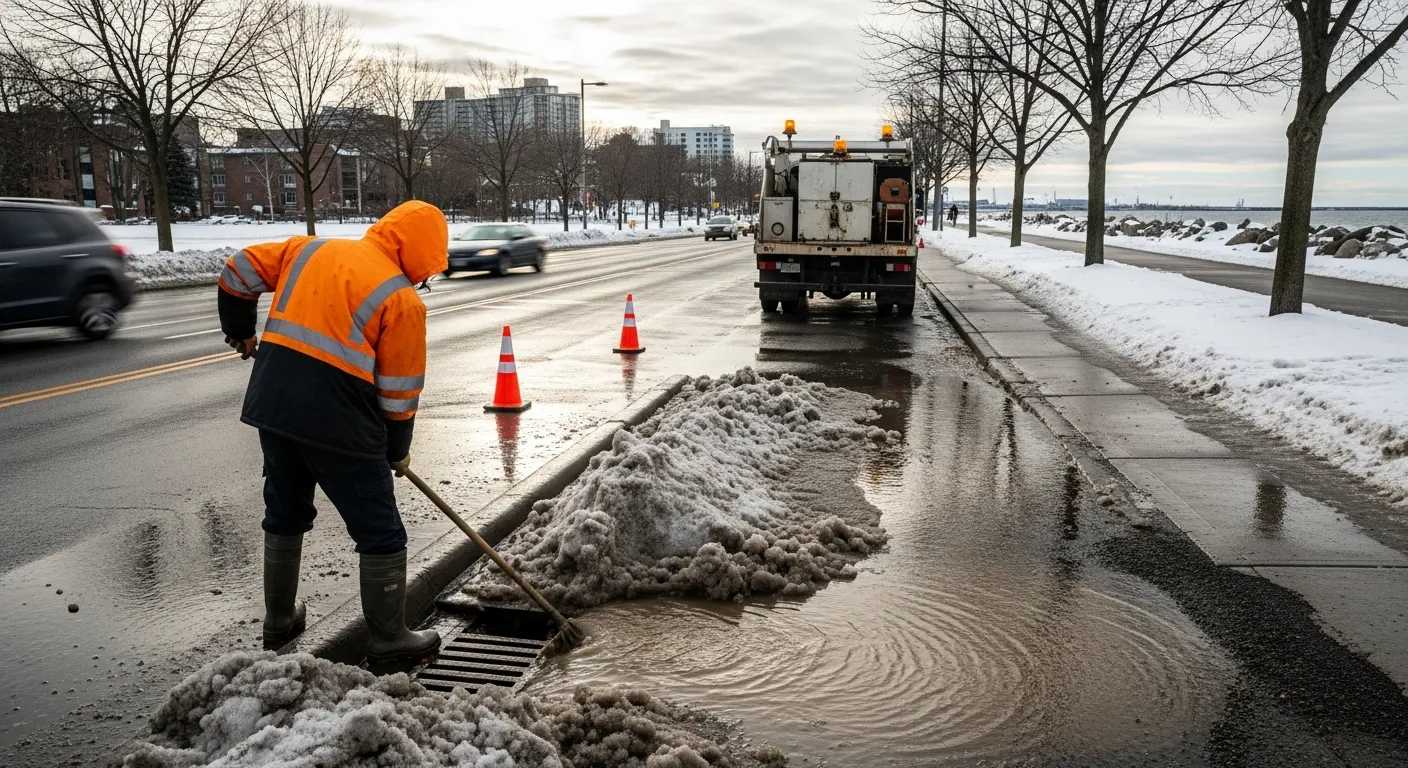
This quick thaw also brings a risk of localized flooding in low-lying areas and along the shoreline. Because the ground is still frozen, rain falling on melting snow can create a large amount of water running off the land that can overwhelm the city’s drainage basins.
Public works crews are expected to change their focus from plowing snow to clearing drains and fixing potholes as the temperature rises. Local weather stations will continue to monitor the conditions as the city moves through this shift from freezing to melting.

