
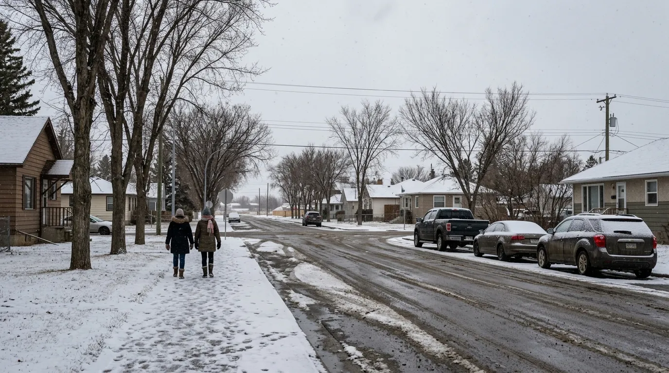
Residents in Wetaskiwin can expect a cold start to the week as Environment Canada forecasts chilly temperatures and a chance of snow for the region. The outlook for the coming days includes a mix of clouds and cool conditions, with overnight wind chill values dropping to -12°C.
Temperatures throughout the week are expected to range from a low of -5°C to a high of 8°C. A 60 percent chance of flurries is in the forecast for Tuesday, with daytime temperatures peaking at just 1°C. These conditions fall below the typical early April historical averages for the area, which usually see highs near 10°C and lows around -4°C.
The cooler weather is part of a broader trend for the province. According to The Weather Network, Alberta is experiencing a spring season characterized by colder-than-normal temperatures and higher-than-average precipitation, driven by La Nina and polar vortex patterns. While April weather in central Alberta is often changeable, residents should be prepared for the possibility of late-season snow, as regional data indicates that nearby areas like Camrose typically receive over four centimetres of snow during the month.
As the work week progresses, community members are encouraged to be mindful of changing road conditions. Previous weather events in the region have shown that winter-like conditions on major routes such as Highway 2 can lead to reduced visibility and icy roads. Motorists are advised to plan for potential delays and adjust their driving habits to account for the unseasonably cold temperatures.

