
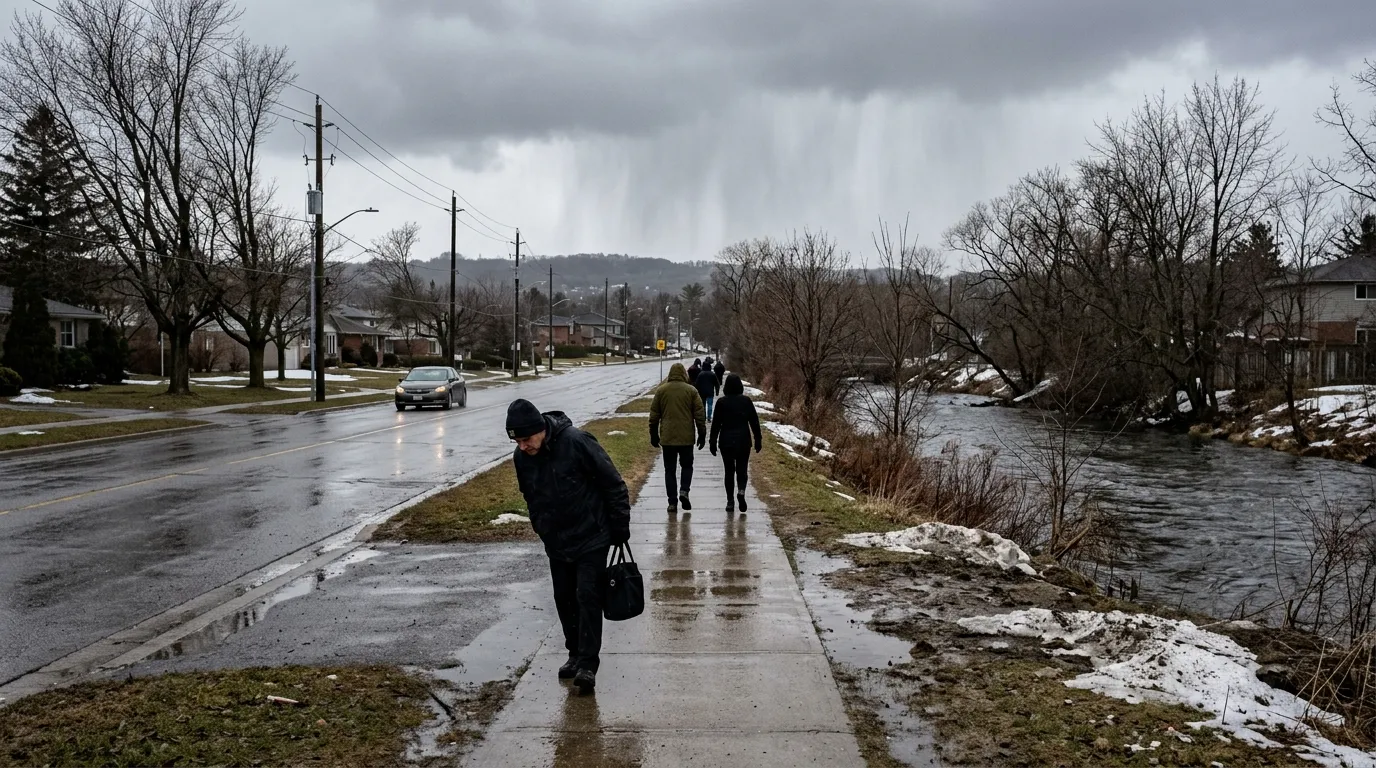
Residents of Waterloo are facing a cool and unsettled start to the week as the region deals with lingering winter-like weather. According to Environment Canada, temperatures are hovering around 4°C this Sunday, accompanied by gusty west winds reaching 50 km/h that make conditions feel significantly colder.
The forecast suggests the cool trend will continue through Tuesday, with a mix of flurries and rain showers expected. While temperatures are set to reach a high of 5°C on Monday, residents should be prepared for chilly nights, with wind chill values dropping near -8°C. A gradual warmup is expected later in the week, with temperatures climbing toward 14°C by Thursday.
This stretch of cold weather follows a particularly damp period for the community. The E.D. Soulis Memorial Weather Station at the University of Waterloo reported that March was the wettest in 15 years, with 128.2 mm of precipitation recorded. The region also faced a heavy winter season, seeing 239.5 cm of snowfall, which stands as the third-highest on record.
Due to the saturated ground and recent heavy rains, the Grand River Conservation Authority is maintaining a flood watch for the entire watershed. Residents living near watercourses are encouraged to remain cautious as water levels remain above normal. Looking ahead, The Weather Network anticipates a sluggish transition into spring for Ontario, with colder-than-normal temperatures and potential periods of snow likely to persist throughout the month of April.

