
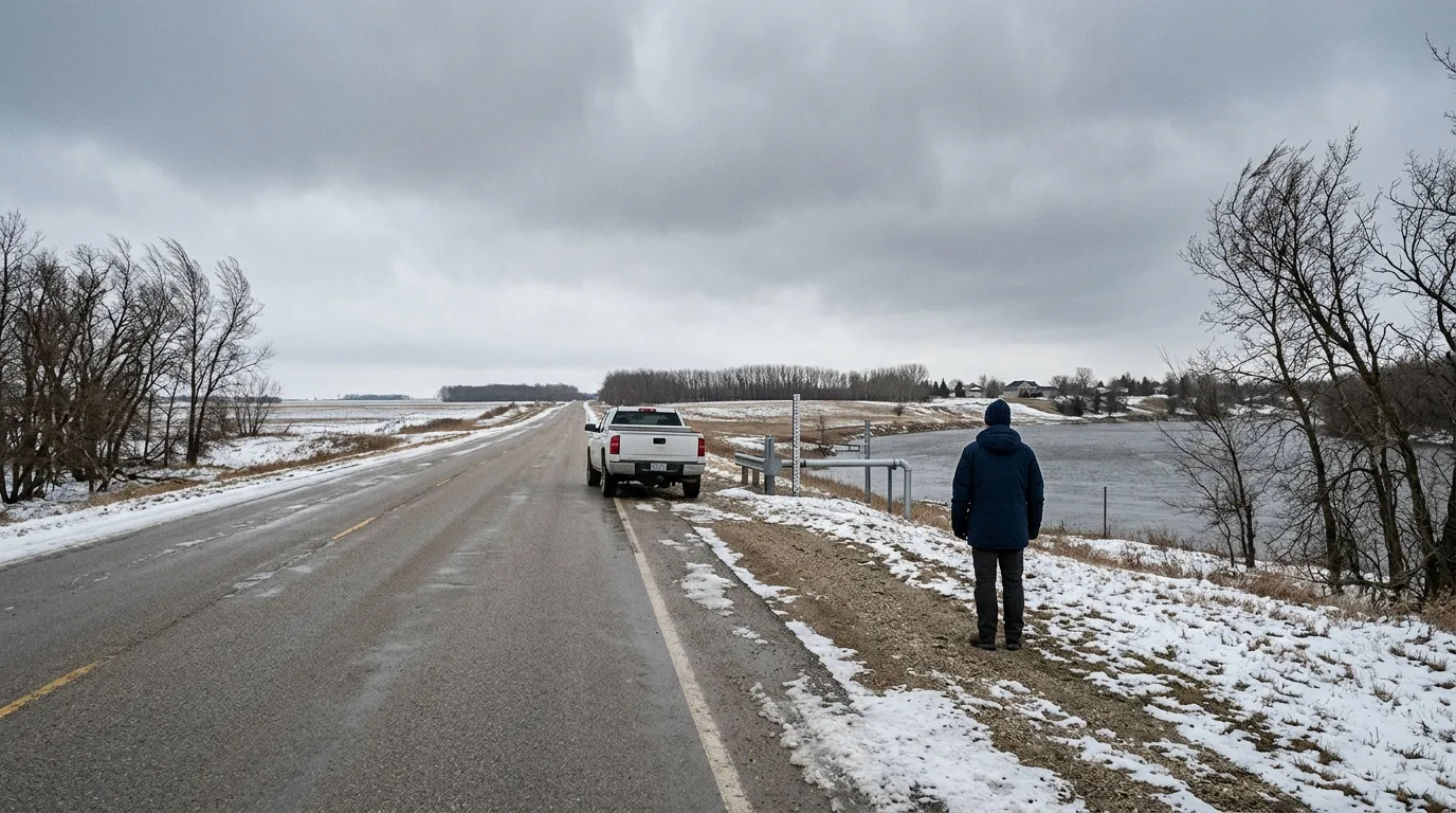
Residents in Morris, Manitoba, are preparing for a week of unpredictable weather as an incoming snow system arrives just as local rivers reach their expected peak flow for the spring season.
According to Environment Canada, the area is currently facing hazardous travel conditions, including a risk of freezing rain this morning and northwest wind gusts reaching 60 kilometres per hour this afternoon. Temperatures are forecast to drop to -12°C on Monday night, with wind chill values reaching -17°C tonight, creating a cold and unstable start to the week.
Looking ahead, the forecast includes periods of snow on Tuesday night followed by steady snow on Wednesday. This incoming weather coincides with the predicted peak of Red River flows, which are expected to occur between April 8 and 15, 2026. Official data from the Hydrologic Forecast Centre indicates a low to moderate risk of significant spring flooding for the Red River basin.
While the combination of new snow and peak water levels can be concerning, officials note that several factors may help reduce the potential for flooding this year. Below-normal snow accumulation in southern Manitoba and shallower-than-normal soil frost depths may allow the ground to absorb more meltwater. Additionally, ice cutting and breaking operations on the Red River were completed on March 11, which is intended to reduce the likelihood of ice jams.
The Town of Morris Emergency Measures Organization continues to monitor local river levels and weather developments. Residents are encouraged to stay informed and prepare for changing road conditions as this weather system moves through the region.

