
Rainfall across Mississippi Mills is expected to taper off today after a period of heavy precipitation triggered a weather warning for the region.
Environment Canada issued a rainfall warning for the area late Friday, cautioning residents that 20 to 40 millimetres of rain would fall through the weekend. The heavy rain, brought on by a low pressure system, ended early Sunday morning, and no weather alerts remain in effect for the region.
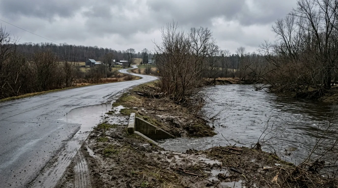
Because recent rainfall had already saturated the ground, officials warned that the soil had little capacity to absorb the additional water. This created a heightened risk of water pooling on local roads and in low-lying areas. Throughout the weekend, residents were advised to be cautious of reduced visibility and to watch for potential washouts near rivers, creeks, and culverts.
Beyond the immediate rainfall, local authorities have been monitoring rising water levels across the watershed. The Mississippi Valley Conservation Authority issued a statement on March 30 noting that the combination of incoming rain and warming temperatures could lead to a rise in water levels and flows as the remaining snowpack melts.
The Ottawa River Regulation Planning Board also reported that water levels, while currently near normal, were expected to rise over the weekend due to these spring conditions. As of Sunday afternoon, local weather conditions featured mainly cloudy skies with a temperature of 7 C and winds gusting up to 36 kilometres per hour.

