
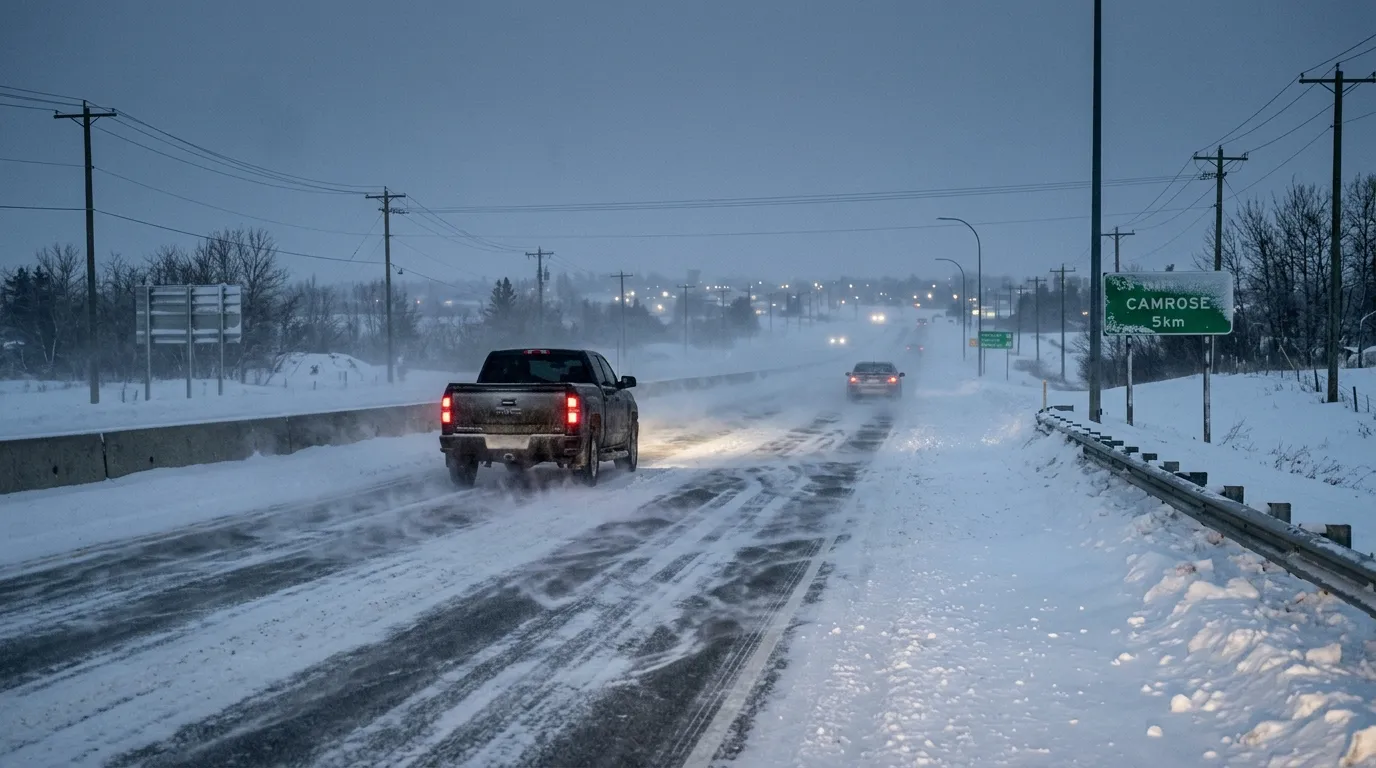
Commuters in Camrose should prepare for challenging travel conditions on Tuesday, April 7, 2026, as a mix of heavy flurries and strong winds moves through the region. According to Environment Canada, local snowfall amounts of 2 to 4 cm are expected, with flurries continuing throughout the morning.
Drivers should exercise extra caution on local roads and highways, including Highway 13, as wind speeds are expected to reach 40 km/h with gusts up to 60 km/h. While conditions are expected to remain hazardous during the morning rush, the heavy flurries are expected to taper off by late morning.
As of Tuesday morning, there are no specific weather alerts in place for Camrose, although an active snowfall warning is affecting parts of northern Alberta. Residents can monitor real-time road updates through 511 Alberta or view highway camera feeds provided by the Alberta Motor Association.
The temperature reached -1.3 C early Tuesday, feeling like -6 with the wind chill. Conditions are expected to improve as the day progresses, with a high of plus 3 C predicted. Skies should clear by tonight, and the forecast points toward warmer weather later in the week, with temperatures rising toward 12 C by Friday.
This week’s weather is in line with the seasonal outlook for the province. According to The Weather Network, the 2026 spring forecast for Alberta predicted colder-than-normal temperatures and higher-than-average precipitation for both March and April.

