
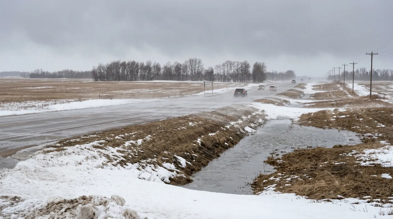
Residents in Beausejour and the Rural Municipality of Brokenhead should prepare for messy travel conditions as a late-season weather system moves through the region starting Tuesday evening, April 7, 2026.
Environment Canada has issued a special weather statement for the area, warning of a system known as an Alberta clipper. This fast-moving weather pattern is expected to bring periods of snow through the night and into Wednesday, with total accumulation ranging between 5 and 10 centimetres. Strong winds are also expected to accompany the snow, with gusts reaching up to 60 km/h.
There is some uncertainty regarding how much snow will actually stay on the ground. With temperatures hovering near the freezing mark, much of the precipitation may melt upon contact. While the Town of Beausejour and surrounding areas are looking at this snow event, more severe snowfall warnings are in effect for other parts of Manitoba, including the Parklands and Interlake regions, where colder temperatures are expected to lead to heavier accumulation.
Meteorologist Rose Carlsen with Environment Canada noted that the impacts from this storm will likely be short-lived. Because the sun is higher in the sky at this time of year, it will help melt the snow quickly and allow temperatures to rebound shortly after the system passes. Residents planning travel along the local highway corridors should stay alert for changing conditions, as wind and snow can create sudden visibility issues.
As spring conditions continue, the Hydrologic Forecast Centre of Manitoba Transportation and Infrastructure has reported a low-to-moderate risk of significant flooding for most basins in the province. Current water levels are expected to remain below flood protection infrastructure.

