
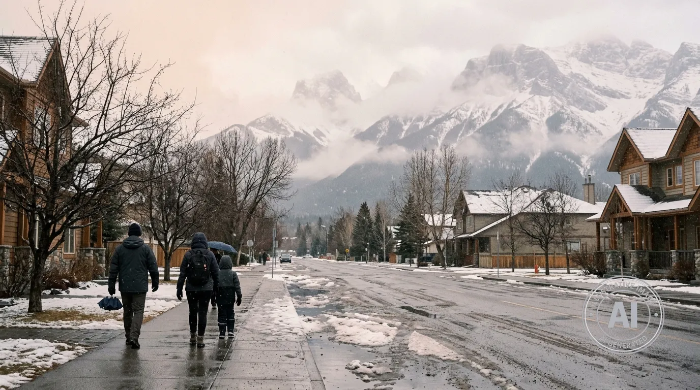
Residents in Canmore, Alberta, should prepare for a week of changing weather as Environment Canada forecasts a mix of sun, rain, and snow through April 16, 2026.
The weekend begins with a mild Saturday featuring a high of 13°C and a 60 per cent chance of afternoon showers. However, conditions are expected to shift Saturday night as rain turns to snow after midnight, with the snow level lowering from 2200 metres to the valley bottom. Local snowfall amounts of two to four centimetres are expected during this transition.
Sunday, April 12, will see periods of light snow ending near noon, with a daytime high of 5°C and a morning wind chill of minus 3. The cooler trend continues mid-week, with snow expected on Wednesday, April 15, and temperatures dropping to a low of minus 7°C that night. Residents can look forward to some improvement on Thursday, April 16, which brings a mix of sun and cloud with a high of 4°C, though night temperatures will remain cold at minus 7°C.
While there are currently no weather alerts in effect, the region is entering a period typical for the season. According to travel resources for the area, April in Canmore often brings significant temperature swings and changeable conditions. As the snowpack reacts to rising temperatures and spring melting, Avalanche Canada notes that there is an increased risk of avalanche activity in the surrounding mountains. Additionally, snow often lingers in valley areas until mid-April and remains on mountain tops into early summer, so those planning outdoor activities are advised to stay aware of rapidly changing conditions.
For those travelling toward neighbouring regions, information on safety and conditions in Banff National Park and Kananaskis Country remains an important resource for residents and visitors alike.

