
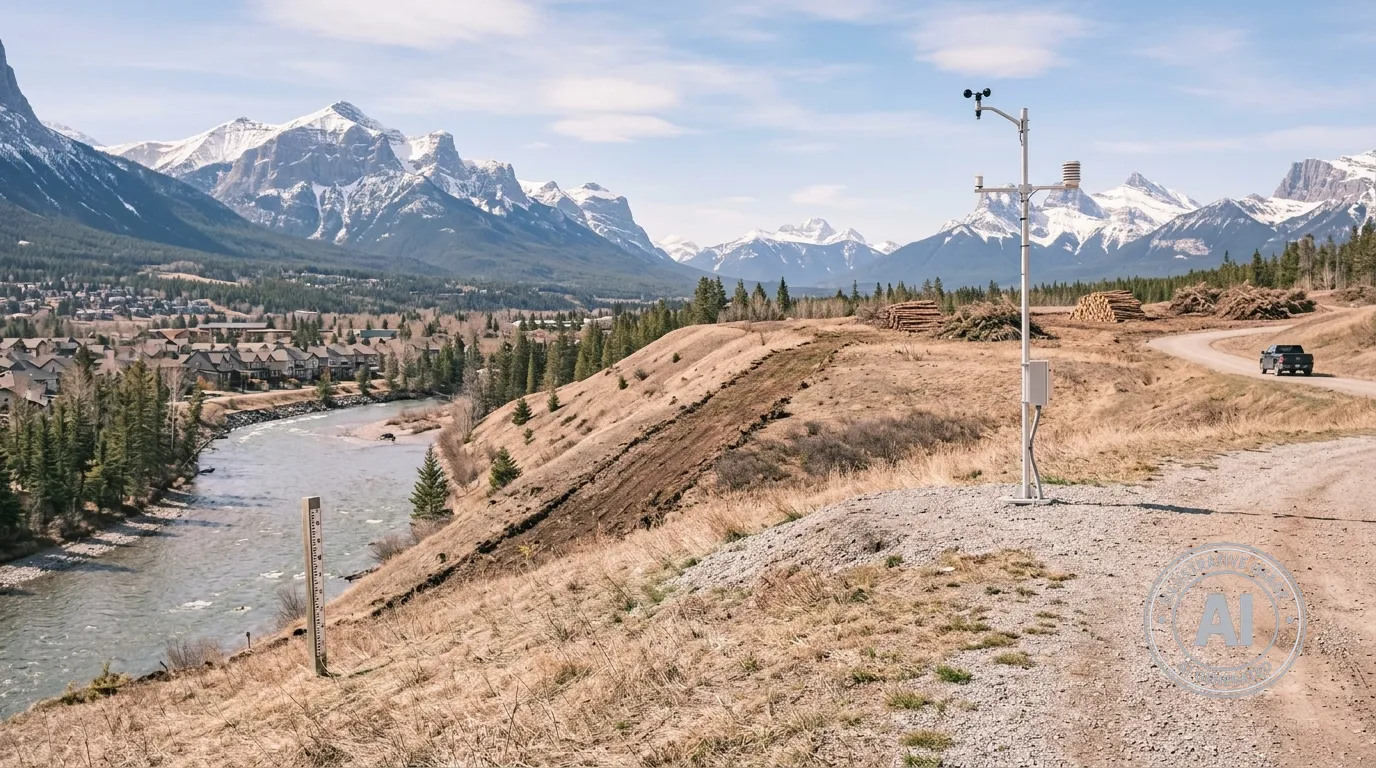
The Town of Canmore has officially activated its seasonal hazard monitoring program for 2026, keeping a close watch on wildfire risks, water levels in the Bow River, potential dangers from steep creeks, and the need for water usage restrictions. As the community moves into the warmer months, residents can use the Town’s interactive status table to receive real-time updates on these safety indicators. As of mid-April, the wildfire danger level in Canmore is currently listed as low.
While experts suggest Canada’s wildfire season may see a quiet start, lingering drought conditions and a warm summer could increase the risk of severe fire activity. To bolster defenses, the town is continuing a multi-phase project to build fireguards around the community. This work includes cleared strips of land designed to slow or stop the spread of flames, with the first phase already finished on sunny, dry south-facing slopes, a second phase well underway, and a third 150-metre-wide, 15-kilometre-long stretch planned down the valley.
Local efforts also extend to individual properties through the Canmore FireSmart program, which now has 13 participating neighbourhoods. Residents are encouraged to clear pine needles from their gutters and keep debris off their roofs to protect their homes from ember showers, which can travel kilometres ahead of a wildfire and ignite materials like mulch or woodpiles. For flood and water management, the town monitors indicators such as mountain snowpack, river flows, and weather forecasts, with the period between May and July identified as the time of highest risk.
To manage long-term flood safety, the Cougar Creek Debris Flood Retention Structure, completed in 2024, stands ready to trap large boulders and trees while reducing peak flood flows. Regarding water usage, the town maintains a four-stage mandatory outdoor water restriction program enforceable by local bylaw, which can prohibit all non-essential outdoor water use if drought conditions intensify.

