
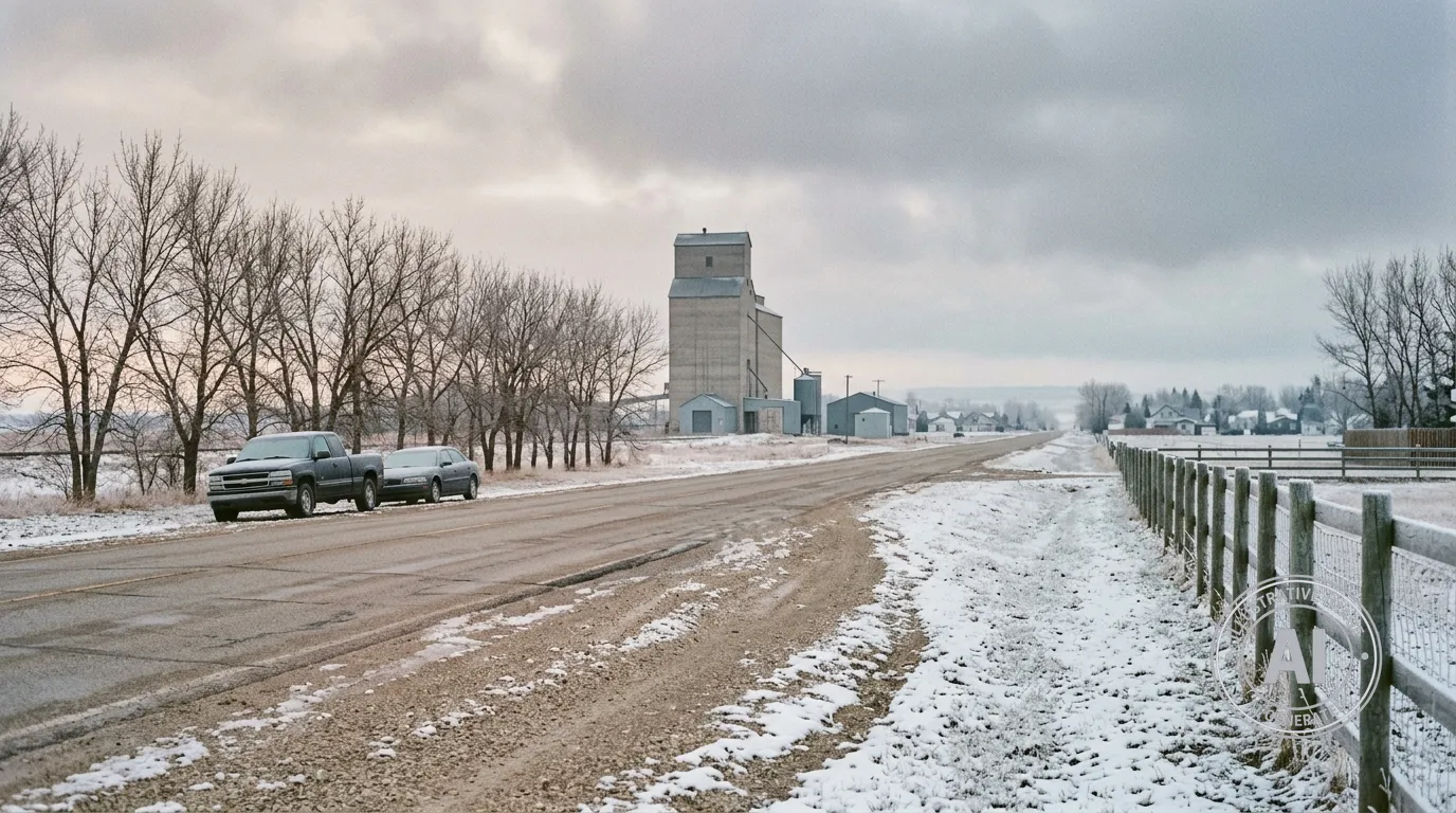
Residents of Carberry are facing a chilly end to the week as frigid temperatures persist through the weekend. According to Environment Canada, morning temperatures on Friday, April 17, 2026, were recorded at -7°C, with wind chill values making it feel more like -13°C.
The cold snap is expected to continue through Saturday, with overnight wind chill values forecast to reach as low as -18°C or -19°C. While these conditions are roughly 15 degrees colder than typical mid-April averages, there are currently no active weather alerts in effect for the community.
The recent dip in temperature is part of a broader pattern of weather systems that have been passing through southern Manitoba approximately every seven days over the past month. These recurring systems, often referred to as Alberta clippers, have brought frequent snow to the region, including a notable storm around April 8 and 9, 2026, that delivered 10 to 20 cm of snow to parts of the province. Looking ahead, weather analysis from Glacier FarmMedia indicates that weather models suggest a continued trend of above-average precipitation for the region over the coming two weeks.
Despite the cold, a significant temperature shift is expected to begin this Sunday. Forecasters are predicting a rapid warm-up, with temperatures climbing from 8°C on Sunday to a high of 23°C by Wednesday, April 22. This change represents a temperature swing of approximately 30 degrees in five days.
As spring weather fluctuates, officials continue to monitor flood risks across the province. Carberry is located within the Assiniboine River watershed. Residents are advised to stay prepared for changing conditions as the weather transitions from wintry lows to unseasonably warm temperatures by mid-week.
Information regarding these weather systems is also tracked by The Weather Network, which has reported on the impact of these systems across the province throughout the spring.

