
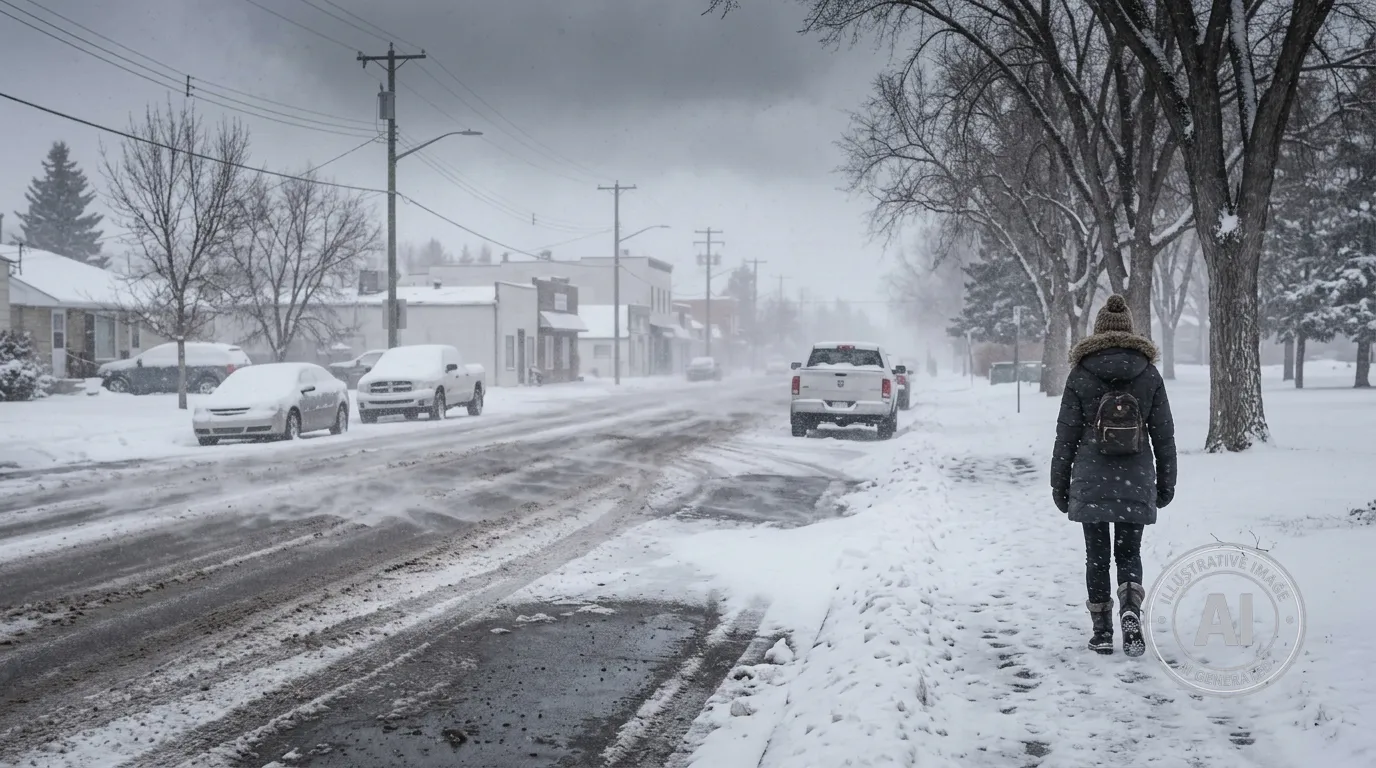
Residents of Wetaskiwin, Alberta, should prepare for an active spring storm bringing colder temperatures and significant snowfall to the region through Saturday, April 25, 2026. While no official weather alerts are in effect for the immediate area as of Thursday morning, the system is expected to bring heavy flurries overnight.
Environment Canada forecasts that flurries will become heavy Thursday night, with a local accumulation of 5 centimetres of snow expected. The conditions will be accompanied by northwest winds gusting up to 70 kilometres per hour, creating an overnight wind chill of -10.
The winter-like weather will persist through the end of the week, with periods of snow continuing on Friday and Saturday. Daytime highs are forecast to remain below freezing, reaching -1 Celsius on Friday and -2 Celsius on Saturday. These temperatures are significantly colder than the seasonal average of 14 Celsius typically seen in late April.
Travelers in central Alberta should exercise caution, as this storm system is affecting major highways across the prairies. Blowing and drifting snow may reduce visibility and create icy, snow-packed road conditions.
Conditions are expected to improve starting Monday as the system clears. Temperatures are forecast to climb to 8 Celsius by Monday, with sunny skies returning on Tuesday as daytime highs reach 13 Celsius.

