
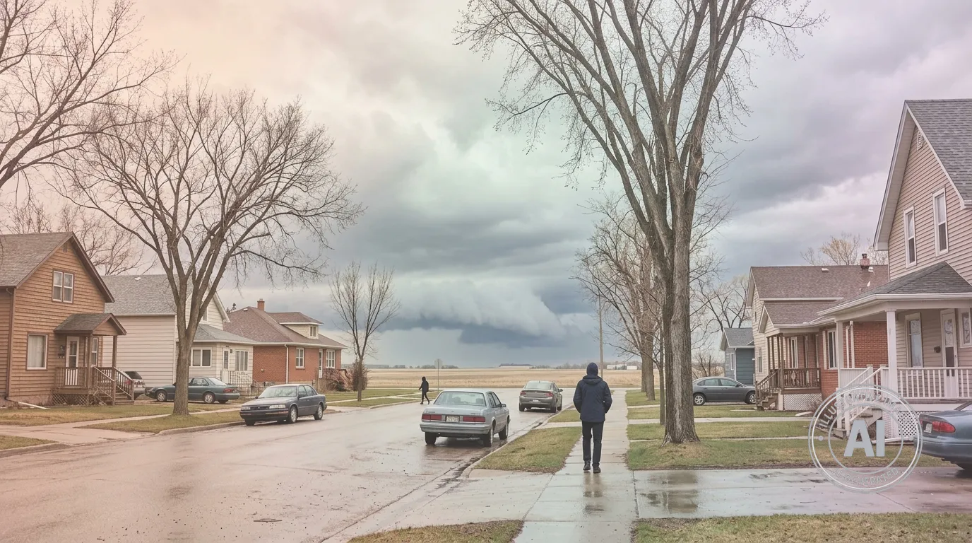
Residents in Brandon, Manitoba, should prepare for a potential shift in weather conditions this afternoon, April 23, 2026, as a large low pressure system moves across the Prairies. Both Environment Canada and The Weather Network have identified a risk of thunderstorms for the area today.
The system is expected to bring unstable atmospheric conditions, with the potential for heavy rain, strong winds, and large hail in southern Manitoba. While conditions in Brandon are currently mostly cloudy with a temperature of 11.3°C, temperatures are expected to climb to a high of 19°C later today. Winds are also forecast to pick up, with southwest gusts reaching 50 km/h.
According to The Weather Network, while there is a possibility of funnel clouds near the Saskatchewan-Manitoba border, these are not currently linked to a tornado threat. Outside of the storm risk, there is an ongoing High Water Level advisory for the Assiniboine River between the Shellmouth Dam and Portage la Prairie, issued by the Manitoba Emergency Management Organization on April 17, 2026.
Residents are encouraged to monitor local updates throughout the day as the situation develops. Following the warm afternoon, conditions are expected to turn cold overnight, with wind chill values potentially dropping to -9°C.

