Residents in Selkirk, Manitoba, should prepare for a significant shift in the weather as cooler temperatures and rain move into the region. According to Environment Canada, the warm, sunny conditions experienced on Wednesday, May 13, 2026, will give way to a cooling trend that lasts into early next week.
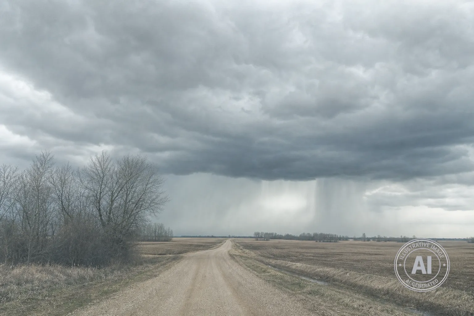
Starting Thursday, May 14, there is a 60 percent chance of showers with a risk of thunderstorms in the afternoon. Environment Canada warns that wind will be a factor, with gusts from the south expected to increase to 70 km/h during the morning. While there were no weather alerts in effect as of Wednesday evening, residents should be aware that the agency classifies the impacts of thunderstorms as moderate when they lead to difficult driving conditions, potential power outages, or local flooding.
The cooler weather will be persistent, with daily high temperatures dropping from 18°C on Thursday to 10°C by Monday, May 18. This is notably lower than the seasonal normal of 19°C. The forecast calls for a mix of sun and cloud on Saturday, followed by periods of rain on Sunday and steady rain continuing into Monday.
This incoming weather system arrives as the agricultural community continues to face challenges with the 2026 planting season. Due to earlier cool temperatures and saturated soil conditions, only about 2 percent of seeding had been completed province-wide as of early May. The return of rain and cooler temperatures may further complicate these efforts for local producers in the Interlake region.
For those interested in the latest updates, residents can monitor official reports through the Environment Canada website. Officials also remind the public that resources such as the Province of Manitoba Manitoba Emergency Management Organization can provide further information on handling severe weather and local road conditions.
