
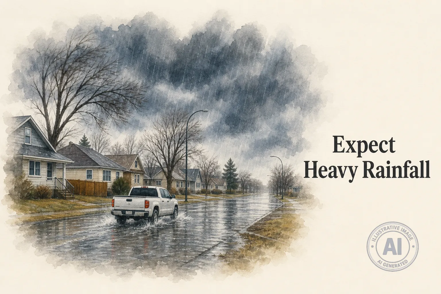
Environment Canada has issued a Special Weather Statement for Brandon, warning that heavy rainfall could hit the city and much of southwest Manitoba starting Monday night, June 22, and lasting into Tuesday, June 23, 2026. The alert, first posted Sunday afternoon and updated early Monday morning, comes just two weeks after devastating floods damaged communities in western Manitoba.
Showers and thunderstorms are forecast to spread from Saskatchewan into Manitoba tonight, strengthening as they move east. Widespread totals of 10 to 40 millimetres of rain are expected by Tuesday evening, with some areas possibly seeing 30 to 80 millimetres if heavier bands of rain stall overhead. Environment Canada says the ground is already saturated from recent storms, raising the risk of localized flooding and hazardous driving.
The statement notes that recent heavy rainfall across southern Manitoba watersheds has left the region vulnerable. In early June, Minitonas, in the Swan Valley area, was hammered by about 148 millimetres of rain in just a few hours, forcing roughly 150 people from their homes in Swan Valley West and nearby communities. Roads were washed out and infrastructure was heavily damaged.
Residents in Brandon and other affected communities, including Portage la Prairie, Morden, Winkler, Virden, Neepawa, and Killarney, are encouraged to monitor local forecasts and be ready for changing conditions. The heaviest rain could linger over parts of southwest Manitoba on Tuesday, so drivers should watch for water pooling on roads and avoid flooded areas.

