
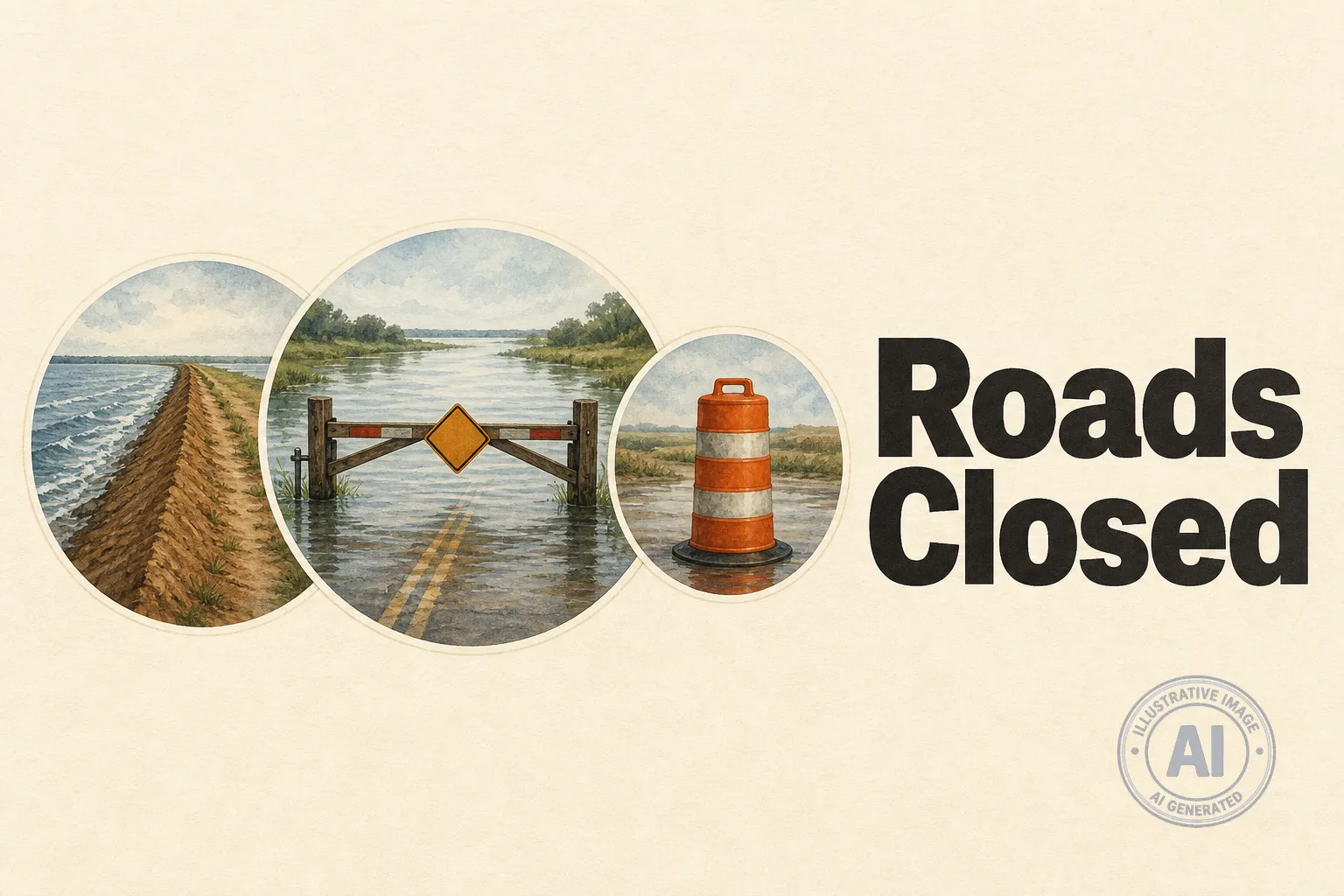
The Rural Municipality of Morris, about 50 kilometres southwest of Winnipeg, has shut down two low-level road crossings at the dike on Roads 29N and 30N because of high water levels. The closures, put in place on or about June 26, 2026, block access for anyone trying to travel through the dike area and will stay in effect until water levels go back down.
Drivers are being told to find other routes and check for updates from the municipality before heading out. “Please be advised that the low level crossings at the dike for Road 29N and 30N are closed due to water,” the RM says on its road closures page.
The closures come as southern Manitoba deals with a wet spring that has pushed up river levels. The RM declared a state of emergency earlier in June 2026 after a windstorm caused debris to block drainage ditches and culverts, making it harder to drain water from farmland and roads. That has added to flooding worries in the area.
The Red River Valley is no stranger to high water. Communities inside ring dikes like Rosenort, Riverside and Aubigny are shielded to the 1997 flood level plus a 2-foot freeboard. But rural roads and lower-lying spots outside the dikes can still go under water when the river rises. The RM says homeowners inside those dike communities have raised their properties over the years, but road heights can be lower, so some people may lose road access to their homes even if their houses stay dry.
Residents can monitor closures on the RM’s notices page. Reeve Scott Siemens and council are leading the local response, while the province watches river levels and helps with emergency support.

