
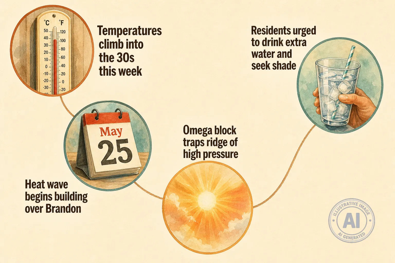
Environment Canada says a heat wave is building over Brandon this week, with daytime highs climbing from about 27°C on Monday, May 25, to near 34°C by Thursday, May 28. The multi-day warm spell will bring conditions well above the late-May normal of about 21°C, and could make outdoor activities feel much hotter.
Meteorologists say the warm-up is being driven by an omega block pattern in the upper atmosphere, where a ridge of high pressure becomes trapped between two troughs. That ridge is pushing daytime temperatures into the 30s across the Prairies and is expected to keep southern Manitoba warm through the end of the week. The warmest Canadian reading so far this year was 33.5°C in Lytton, B.C., on May 5, and parts of the Prairies could approach or exceed that level.
As humidity increases, Humidex values are expected to make conditions feel like the mid-to-upper 30s, and nights will offer limited cooling with lows near the low to mid teens. Environment Canada had no heat warning in effect for Brandon as of Monday, May 25, but heat warnings are typically issued when high temperatures are expected on two or more consecutive days and are usually put out 18 to 24 hours in advance. The federal criteria for extreme heat warnings are available from the government.
Provincial emergency officials note the risks for heat-related illness and urge residents to prepare. The Manitoba Emergency Management Organization maintains guidance on staying cool and finding community resources, and Manitoba Health may issue a heat advisory when Humidex values reach 40 or higher. People who are older, pregnant, have chronic health conditions, or work outdoors should plan to drink extra water, use shade or cooling centres, and check on neighbours and family. Those with health questions can call Health Links – Info Santé at 204-788-8200.

