
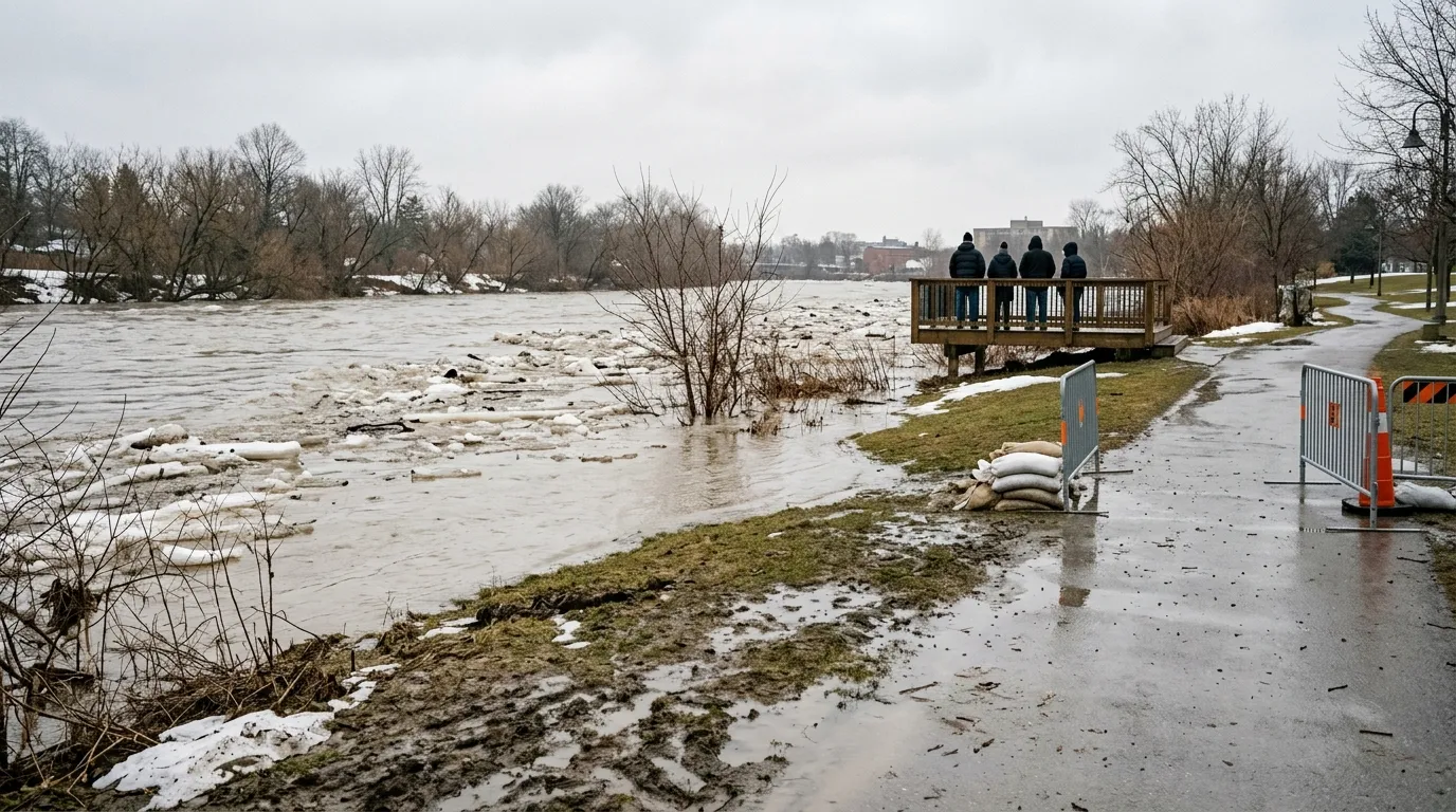
Residents in Brantford, Ontario are facing a week of fluctuating weather and continued flood concerns as a cold snap follows heavy rain expected throughout the region. Environment Canada is calling for a significant temperature swing, while the Grand River Conservation Authority has a flood watch in effect for the watershed due to high water levels.
Heavy rainfall of 20 to 30 mm, potentially accompanied by thunderstorms, is expected for the area on April 5, 2026. This precipitation, combined with runoff, increases the risk of ice jams and flooding as river systems continue to experience ice melt. The flood watch serves as a reminder of the ongoing challenges posed by the river, particularly as water levels remain elevated into early April.
Following the rainfall, a cold snap will bring overnight temperatures down to -8 C on Tuesday, April 7. Temperatures are then expected to rebound, reaching a high of 16 C by Thursday, April 9. While the colder weather may slow the immediate breakup of river ice, local officials are closely monitoring the situation to see how the subsequent warmup affects water flow.
The area near the Gilkison Flats remains a primary focus for monitoring due to its long history of ice jam occurrences. These events have historically caused significant disruption, most notably in February 2018, when a major ice jam caused damage and forced the evacuation of thousands of Brantford residents. A previous major event was also recorded in 1996.
In an effort to address these recurring risks, the City of Brantford and the conservation authority launched an environmental study to investigate methods for reducing the impact of ice jam flooding. Members of the public have until April 7, 2026, to provide their input on this assessment.

