
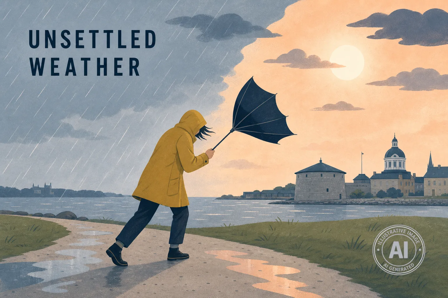
Residents in Kingston can expect an unsettled week of weather as an active pattern moves through the region, according to Environment Canada. While there are currently no weather alerts in effect, the forecast includes a mix of rain, potential thunderstorms, and shifting temperatures.
Showers are expected to continue through this evening with a risk of thunderstorms continuing after midnight. As the system clears on Wednesday, May 20, temperatures are expected to reach a high of 18°C. Residents should also be prepared for breezy conditions, with west winds reaching 30 km/h and gusts up to 50 km/h.
Those spending time outdoors Wednesday should take precautions, as the UV index is forecast at 9, which is considered very high. According to Environment Canada, a very high UV rating means residents should limit time in the sun between 11 a.m. and 3 p.m. It is recommended to use SPF 30+ sunscreen and wear protective clothing, such as a wide-brimmed hat and sunglasses.
The remainder of the week will see fluctuating conditions. Thursday will be sunny with a high of 16°C, while clouds are expected to increase on Friday with a high of 19°C. A 70 percent chance of showers is forecast for Saturday, with a high of 17°C.
These temperatures remain consistent with typical May weather for the area, where historical data shows average highs ranging from about 15°C at the start of May to about 20°C by month’s end. As of 6:00 p.m. on May 19, observation data from the Kingston Airport recorded a temperature of 15.7°C with mostly cloudy skies and high humidity levels.

