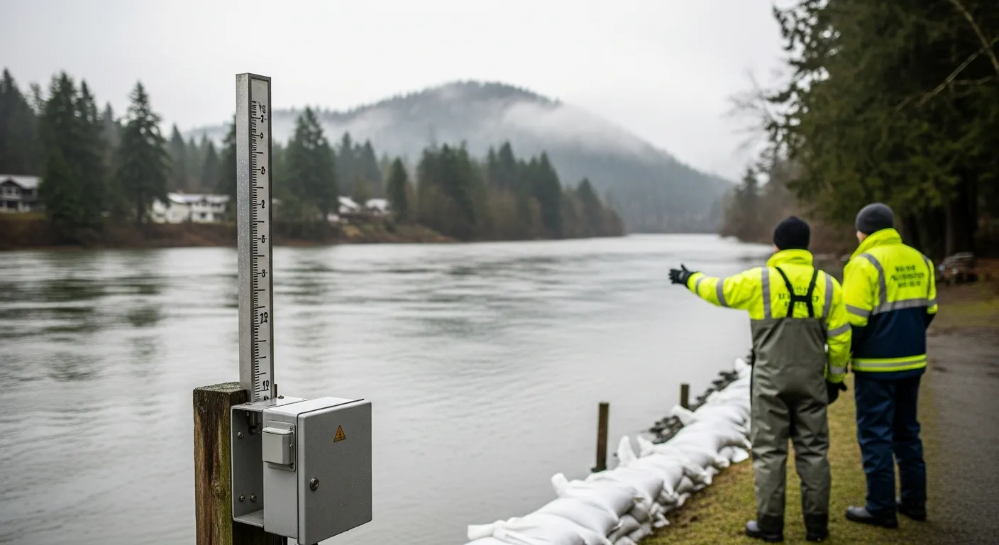
The BC River Forecast Centre is keeping a close watch on water levels for the Somass, Stamp, and Sproat rivers in Port Alberni, British Columbia. This monitoring helps ensure that residents in low-lying areas are kept safe and have the information they need to prepare for potential high water.
Official river monitors recently issued a major Flood Watch for the region on January 31, 2026. While the local waterways are always being watched, that alert was the most recent major warning for households across the valley.
The Alberni-Clayoquot Regional District Emergency Program is responsible for keeping the community informed and helping people get ready for potential emergencies. They use specialized maps to identify which areas are most likely to see flooding when river levels rise.
Residents living near the rivers are encouraged to stay aware of the weather and avoid areas known for high water. Official safety updates from EmergencyInfoBC indicate it is important for those in flood-prone spots to monitor conditions closely.
