Residents in Sandy Bay, Manitoba, are preparing for a week of extreme weather as a dangerous cold snap is expected to give way to a spring-like thaw by March 7, 2026. This rapid shift will bring freezing wind chills followed by a sudden warm-up that could impact travel and ice safety in the community.
According to Environment Canada, wind chills are expected to reach between -22 and -25 on March 3 and March 4. Strong northeast winds gusting up to 50 kilometres per hour will create a risk of frostbite and make travel hazardous due to blowing snow.
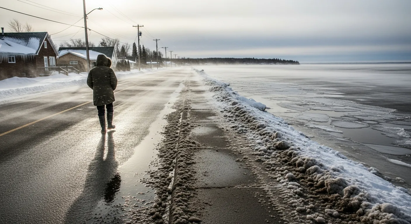
By Saturday, March 7, the temperature is forecast to rise to a high of +6°C, which is 10 degrees warmer than the usual maximum for this time of year. This quick thaw is expected to create slushy road conditions and a risk of black ice during the overnight hours when temperatures drop back below freezing.
The Sandy Bay Ojibway First Nation is located on the western shore of Lake Manitoba, where the sudden warmth may make the ice unstable. Safety officials warn that thaws can make lake ice unpredictable and dangerous for walking or using vehicles, regardless of how thick the ice appears to be.
Local residents are encouraged to check on vulnerable neighbours and animals during the coldest days and to protect outdoor property from the coming melt. The Manitoba Hydrologic Forecast Centre and other provincial authorities monitor these conditions to help residents stay safe during rapid seasonal transitions.
