
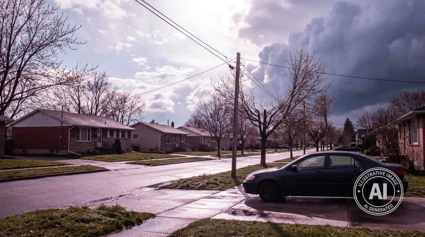
Residents in Sarnia, Ontario, can expect a day of shifting weather on Thursday, April 9, 2026, as sunny morning conditions give way to a risk of thunderstorms by the afternoon. While current readings at Sarnia Chris Hadfield Airport show clear skies and 8°C as of 6:00 a.m., the forecast calls for temperatures to climb to a high of 19°C before clouds and a 40% chance of showers move into the region later in the day.
This spike in temperature is warmer than usual for early April in Sarnia, where historical averages typically see daily highs around 12°C. While there are no weather alerts in effect for the area at this time, County of Lambton Emergency Services reminds residents that severe weather conditions, such as damaging winds or heavy rain, can develop in unstable air. Environment Canada notes that a severe thunderstorm watch is issued when conditions are right for storms to form, while a warning is reserved for active storms causing significant impact.
The unsettled pattern is expected to continue through the end of the week. Friday, April 10, will bring a significant cool-down with a high of 8°C and overnight lows dipping to -1°C. According to The Weather Network, this variability is part of a broader trend for the season, with colder-than-normal temperatures and above-normal precipitation expected to persist across the province through at least the end of April.
Looking ahead into next week, the forecast indicates continued fluctuations. Saturday will be sunny with a high of 10°C, while Sunday and Monday will bring cloudy skies with a 30% to 40% chance of showers and highs ranging from 18°C to 19°C. By Tuesday and Wednesday, residents should be prepared for periods of rain as temperatures begin to cool, dropping to a high of 6°C by mid-week.

