The Red River at Selkirk, Manitoba faces a moderate risk of flooding this spring according to the latest provincial outlook. The Hydrologic Forecast Centre released the report on March 20, 2026, identifying the river as a primary area of concern as the spring melt begins. The actual risk level will depend on how much more snow falls, any spring rain, and how quickly temperatures rise over the coming weeks.
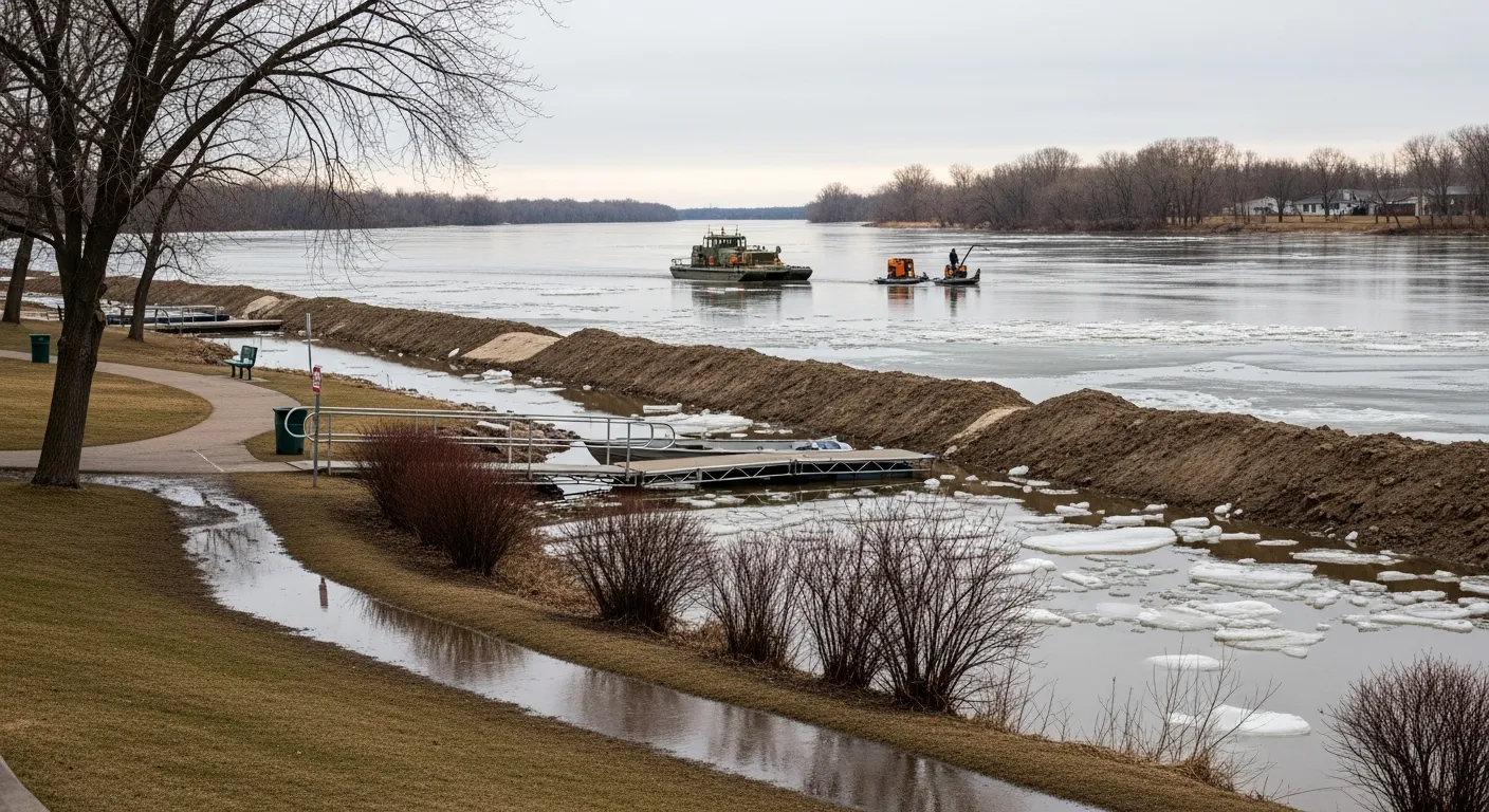
Provincial crews have already finished ice-cutting and breaking operations along the Red River to help lower the chance of ice-jam flooding. This work involved using three Amphibex icebreakers and remote-controlled cutting units to clear 28 kilometres of ice between Selkirk and Netley Marsh. This program has been a regular part of provincial spring preparations since 2006.
The City of Selkirk is generally well-protected from high water because much of the community is built on higher ground. Historically, the city has seen very few issues with residential flooding, even during major flood events. Local officials primarily focus on protecting the city park and boat launch using temporary clay dikes that can be put up in two days and removed in one day.
Current conditions show that Lake Winnipeg and Lake Manitoba are well below their normal water levels for this time of year. While the Red River Floodway is ready if needed, officials do not expect to use it unless weather conditions become significantly worse. Other nearby areas, such as the Fisher River basin, are currently facing a higher risk level described as moderate-to-major.
The Manitoba Emergency Management Organization is working with local towns and First Nations to prepare resources and review emergency plans. Officials advise residents to stay off all waterways as the ice thins and temperatures warm up across the region.
