
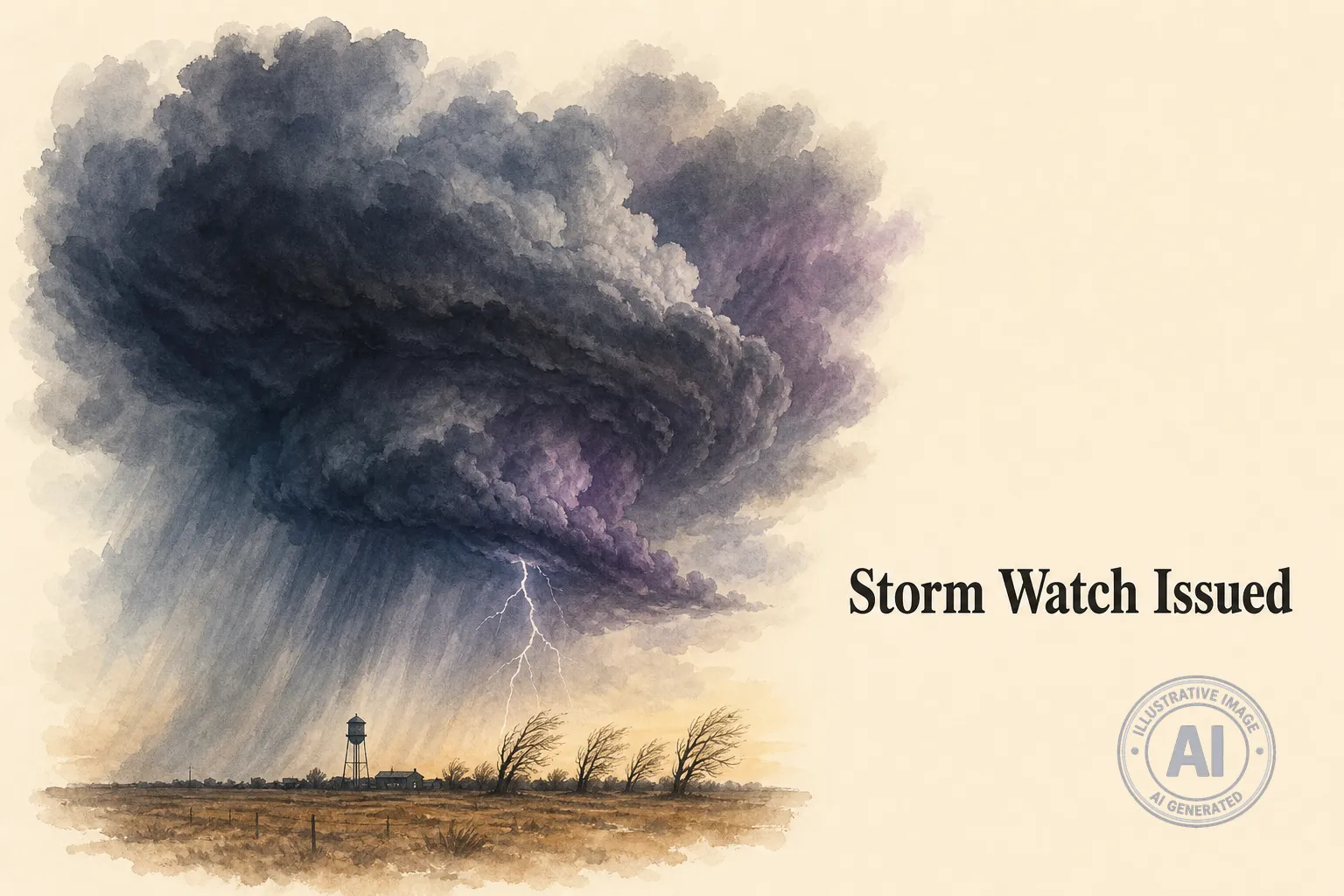
A severe thunderstorm watch is in effect for Selkirk and the surrounding Rural Municipality of St. Andrews on Monday, July 6, 2026. Environment Canada warns that conditions are ripe for powerful storms that could bring large hail, damaging winds, and heavy rain this evening and overnight.
The watch covers parts of southeastern Manitoba, including the Selkirk area about 22 kilometres northeast of Winnipeg. According to The Weather Network, a cold front moving through southern Manitoba is expected to trigger severe thunderstorms capable of producing hail up to the size of ping-pong balls and wind gusts reaching 100 km/h. Environment Canada warns of localized downpours dumping 50 to 70 millimetres of rain.
Residents should brace for possible power outages and property damage. Manitoba Hydro crews have been busy in recent weeks after a series of severe storms in June 2026 knocked out electricity to more than 25,000 customers across southern Manitoba. The crown corporation described that event as one of the worst summer storm events in recent memory, with about 1,000 separate outages and some homes in the dark for multiple days.
The Selkirk region is no stranger to violent summer weather. In June 2019, a severe thunderstorm tore through the RM of St. Andrews, causing over $80,000 in damage to St. Andrews Stables and destroying a hay shed and damaging barns and fences.
Environment Canada urges residents to stay tuned to local weather updates and have a plan in place in case severe weather strikes. The watch remains in effect for this evening, and conditions can change quickly.

