
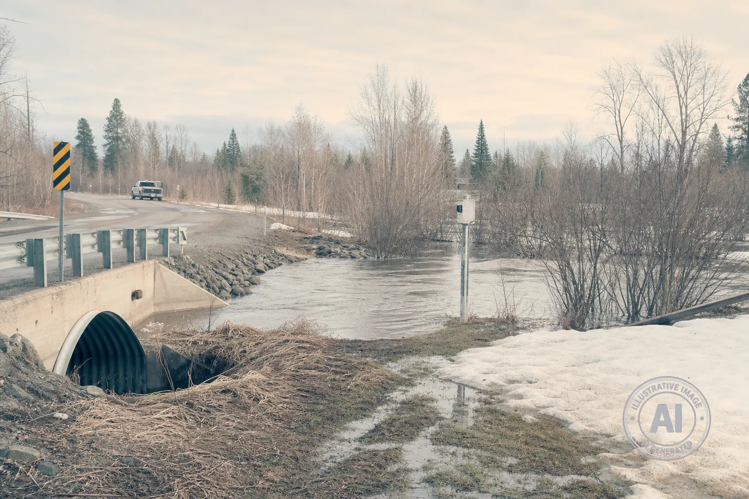
The Lakehead Region Conservation Authority has officially lifted the flood watch for the Thunder Bay area as of May 1, 2026. After a period of elevated risk throughout late April, local water levels have stabilized and no further flooding is expected.
The region faced a significant flood risk earlier in the spring due to a combination of heavy rainfall and runoff from an above-average snowpack. Throughout late April, the area saw 57.1 millimetres of rain, which is well above the typical April average of 41.5 millimetres. This heavy precipitation, combined with frozen ground that could not absorb the excess water, created high runoff that impacted local drainage systems and roads.
The situation became particularly difficult in the Municipality of Neebing, where a culvert failure on Sturgeon Bay Road led Mayor Mark Thibert to declare a local state of emergency on April 26, 2026. The incident threatened to isolate approximately 100 residents, prompting the installation of a temporary one-lane bridge on April 27 to restore safe access to the area.
While the immediate flood threat has passed, the conservation authority continues to monitor weather conditions and water levels through its regional tracking program. The organization utilizes various tools, including streamflow and precipitation gauges, to keep the community informed. Residents are encouraged to remain aware of changing weather patterns, as the local flood warning system is most effective for significant weather events and is not designed to predict sudden, short-duration thunderstorms.

