
Environment Canada has issued a special weather statement for Thunder Bay, warning residents to prepare for 10 to 15 centimetres of snow beginning tonight, March 30, and continuing through Tuesday evening, March 31, 2026.
The snowfall is caused by a Colorado Low, a low-pressure system that forms in the lee of the Rocky Mountains. These systems typically draw moisture from the Gulf of Mexico before tracking northeast toward Northern Ontario. Meteorologists warn that there is still uncertainty regarding the exact path of this system, which means the areas expecting the heaviest snow could shift significantly. Accumulations may be lower for communities closer to the Minnesota border.
While a spring snowstorm might feel unusual, Environment Canada meteorologists note that March weather in the region frequently involves cold Arctic air mixing with southern moisture. This is the latest in a series of winter events for the city this month.
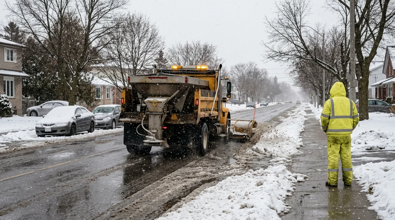
The City of Thunder Bay has crews ready to manage snow and ice across its municipal network of roadways and sidewalks. Motorists should plan for extra travel time, as roads and walkways may become icy and slippery. Residents are encouraged to monitor the city’s snowplow tracking map for real-time updates on clearing operations.

