
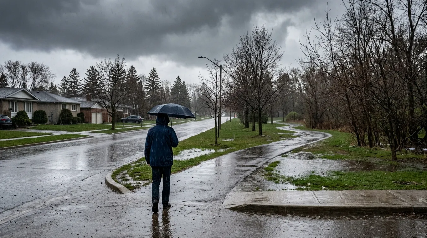
Environment Canada has issued a special weather statement for the Waterloo region, warning that a Colorado low pressure system is expected to bring heavy rain starting Saturday, April 4, 2026. Residents should prepare for between 25 and 50 millimetres of rainfall, with the heaviest downpours projected for Saturday evening and overnight. The storm system also carries the potential for thunderstorms, which could lead to even higher localized rainfall amounts.
This incoming weather is a concern because the ground across the region is already saturated. According to data from the E.D. Soulis Memorial Weather Station at the University of Waterloo, last month was the wettest March in the region since 2011. The area also saw its third-highest snowfall season on record, and recent rapid snowmelt has kept water levels elevated.
In response to these conditions, the Grand River Conservation Authority has issued a flood watch for the entire Grand River watershed. Officials have identified several areas as being at particular risk, including Grand Valley, Waldemar, Drayton, West Montrose, the Village of Conestogo, New Hamburg, Ayr, Brantford, Six Nations, Caledonia, Cayuga, and Dunnville.
While the path of the storm remains somewhat uncertain, Environment Canada notes that further rainfall warnings could be issued as the situation develops. Residents are encouraged to monitor local updates from the conservation authority and take precautions by securing any loose outdoor furniture or items that could be affected by high winds or heavy water flow.
This weather event is part of a broader pattern of spring volatility as the region transitions through shifting climate conditions. Further updates on the storm’s progression are available through The Weather Network.

