
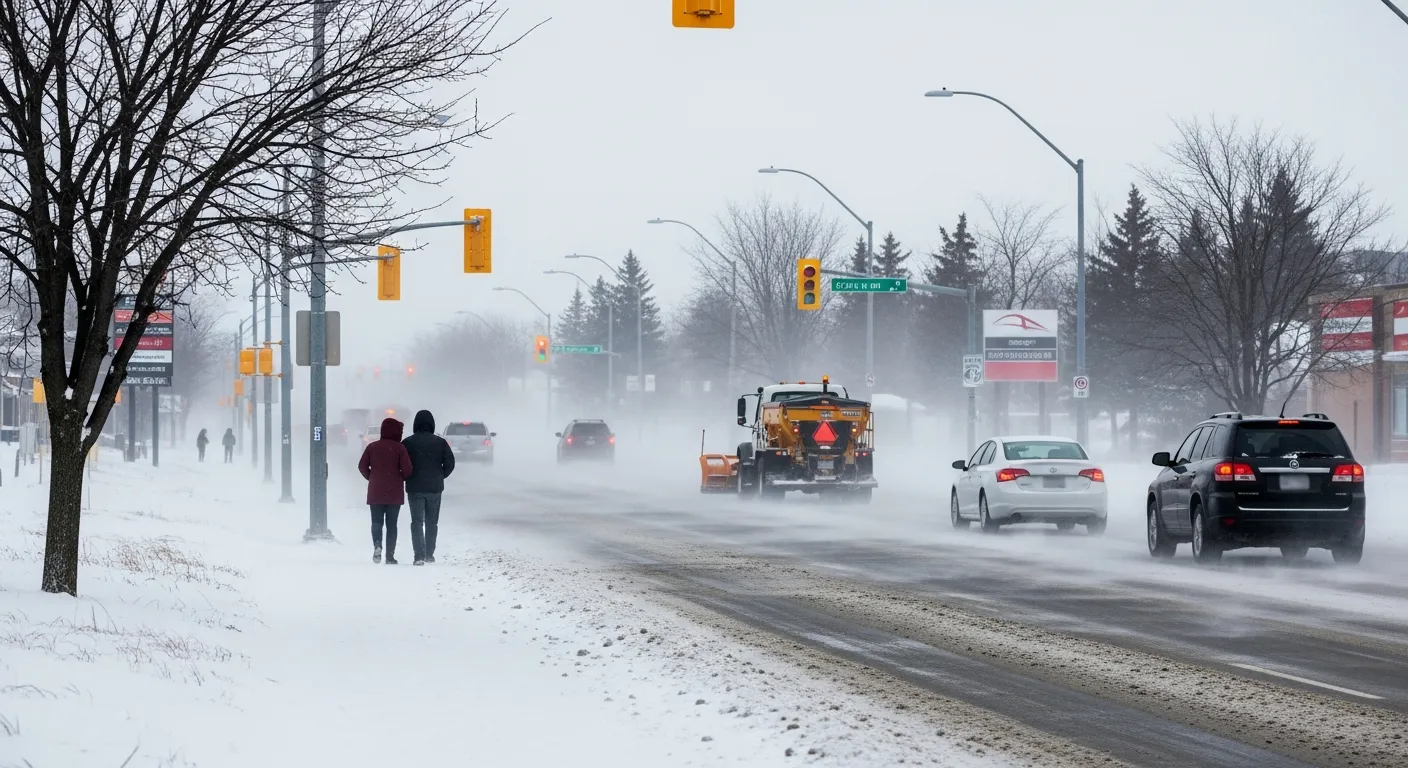
Residents in Thunder Bay, Ontario, are facing difficult travel conditions this morning, March 13, 2026, as a snowstorm moves through the region. Environment Canada has issued a special weather statement for the city, warning of significant snowfall and strong winds.
The storm is expected to bring between 10 and 15 centimetres of snow to the area. The highest amounts of snow are predicted to fall near the Ontario-Minnesota border, while areas further north may see less accumulation. Strong easterly or northeasterly wind gusts reaching up to 70 kilometres per hour are also expected throughout the morning.
Drivers should be prepared for poor visibility on the roads due to falling and blowing snow. These hazardous conditions are expected to last through the morning, though weather officials say things should start to improve from west to east as the system moves out of the area.
While the storm is creating challenges locally, conditions are expected to be even more severe south of the international border. Winter storm warnings are currently in effect for parts of the United States where the weather system is predicted to be worse than what is expected in Thunder Bay.

