
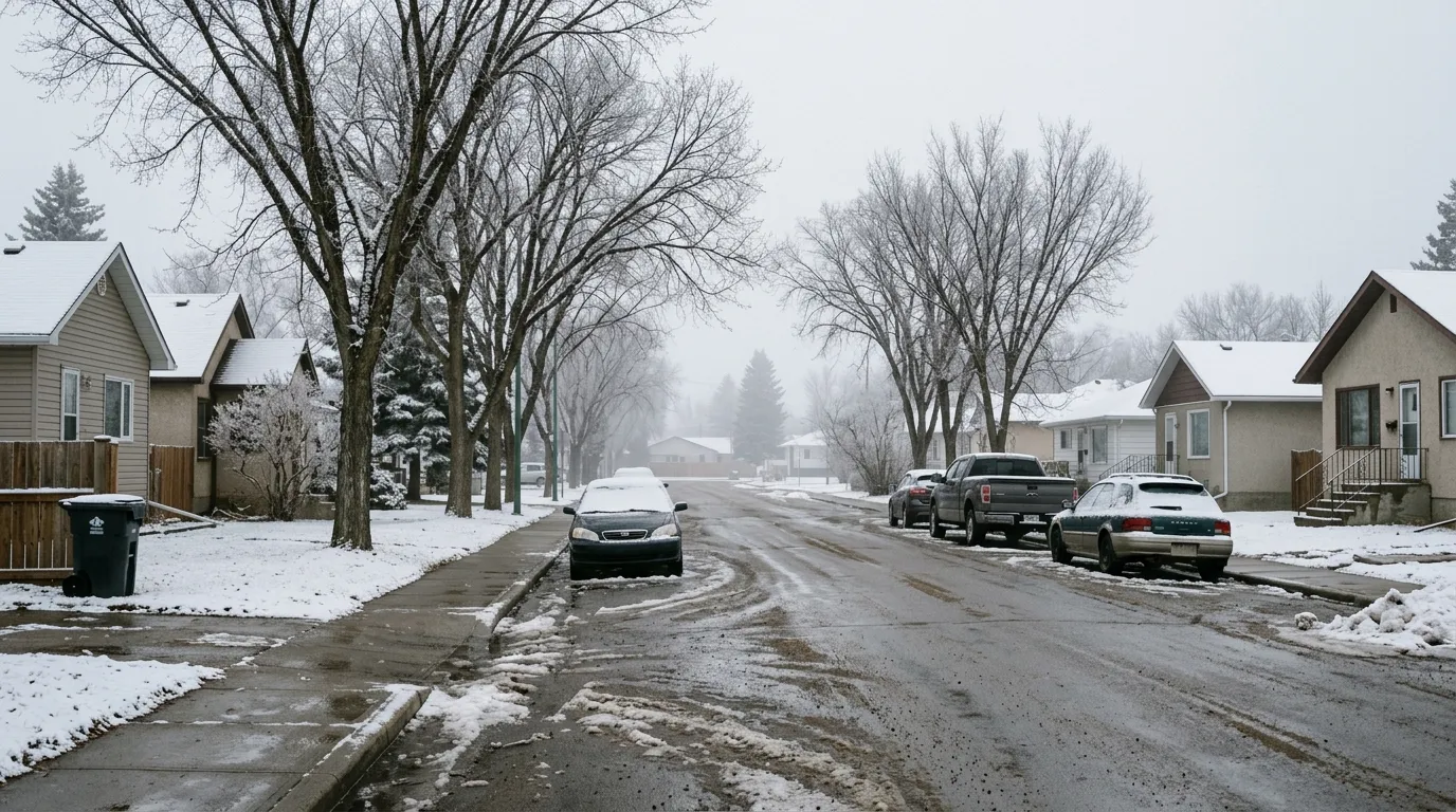
Residents of Wetaskiwin can expect a brief return to winter conditions as Environment Canada forecasts 2 centimetres of snow for the area before Friday morning. While the snow will move out early in the day, patchy fog is expected to develop overnight, and residents should prepare for a wind chill near minus 9.
Despite the incoming snowfall, there are currently no weather alerts in effect for the city. As of early Friday morning, the temperature was recorded at minus 3.3 degrees Celsius with a wind chill of minus 5.
This fluctuation in temperature is consistent with the broader spring forecast for Alberta. According to The Weather Network, colder-than-normal conditions are expected to persist throughout April across the province. Local weather patterns often see significant precipitation this time of year, with many central Alberta communities typically receiving between 8 and 15 centimetres of snow throughout the month of April.
Wetaskiwin, one of the oldest cities in the province, remains accustomed to these variable spring conditions as it moves through the transitional season.

