
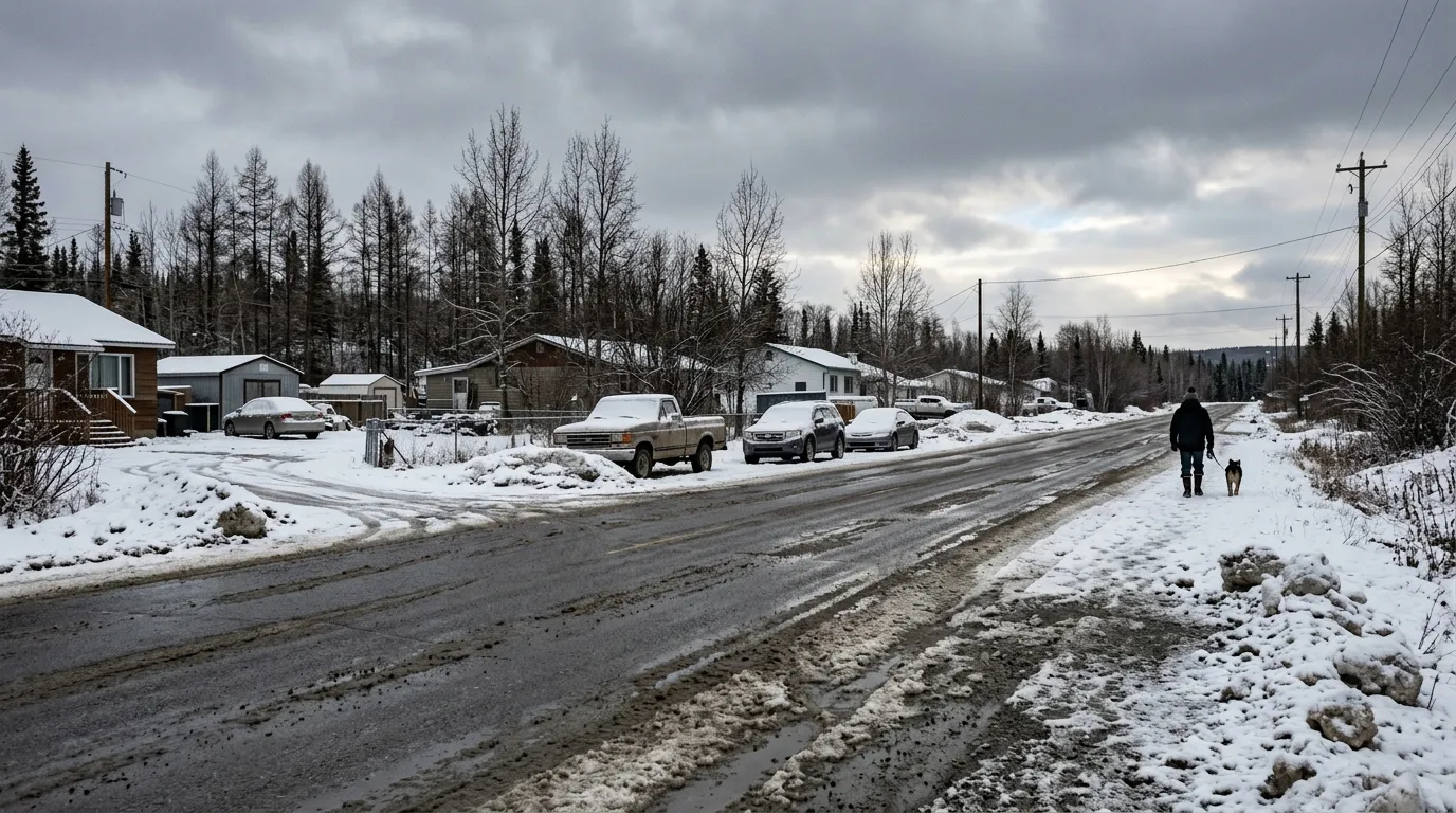
Residents of Watson Lake can expect a wintry start to the week before conditions turn warmer by mid-week. According to Environment Canada, snow is expected on Monday, April 6, 2026, with approximately 2 centimetres of accumulation and a daytime high of 2 degrees Celsius.
While Monday and Tuesday will remain cooler, a warming trend is on the horizon. Temperatures are forecast to climb throughout the week, reaching between 6 and 7 degrees Celsius by Thursday, April 9. Skies are expected to clear as the week progresses, though residents should prepare for chilly overnight lows, including a forecast low of -7 degrees Celsius for Tuesday night.
There are currently no weather alerts or warnings in effect for the Watson Lake area. Forecasters note that the community is experiencing a slow transition into spring, following a winter season that brought significantly higher than normal precipitation across the Yukon.
The current forecast aligns with seasonal outlooks from The Weather Network, which suggest that spring temperatures in the southeastern Yukon may remain on the cooler side of normal. For those planning their days, typical April conditions in the region include a normal daily high of 5 degrees Celsius and a low of -9 degrees Celsius.

