
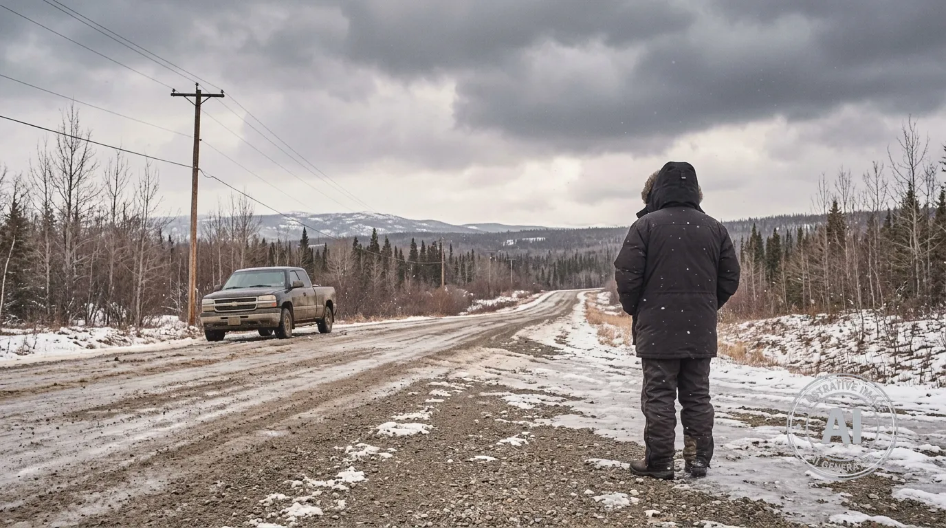
Residents in Watson Lake, Yukon, should prepare for a return to winter-like conditions this week as a stretch of sunny weather gives way to cooler temperatures and snow. While the weekend offers clear skies and mild daytime temperatures, Environment Canada is tracking a system that will bring a chance of flurries and accumulating snow by Tuesday.
The current forecast, issued on April 10, 2026, shows a sunny weekend ahead with daytime highs reaching 4°C on Saturday and 5°C on Sunday. Despite the sun, residents can expect cold mornings, with wind chill values dropping as low as -16°C. While these temperatures are typical for the season, they serve as a reminder of the variable nature of spring in the region.
The weather pattern will shift on Monday, April 13, when there is a 60 percent chance of flurries and a high of 3°C. Winter conditions are expected to become more settled on Tuesday, April 14, as actual snow falls and temperatures struggle to reach a high of 1°C. Overnight lows throughout this period are expected to dip back down to -10°C.
Although there are currently no weather alerts in effect for Watson Lake, the community is navigating a spring season that has been colder than average. Looking beyond this week, the Weather Network indicated that temperatures are expected to remain on the colder side of seasonal for this part of the territory through the remainder of April.
The colder start to spring is notable given the territory-wide concerns regarding flood preparedness. The Yukon government has noted that an above-average snowpack currently exists across many regions. Residents are encouraged to stay updated on local conditions as the spring melt progresses.

