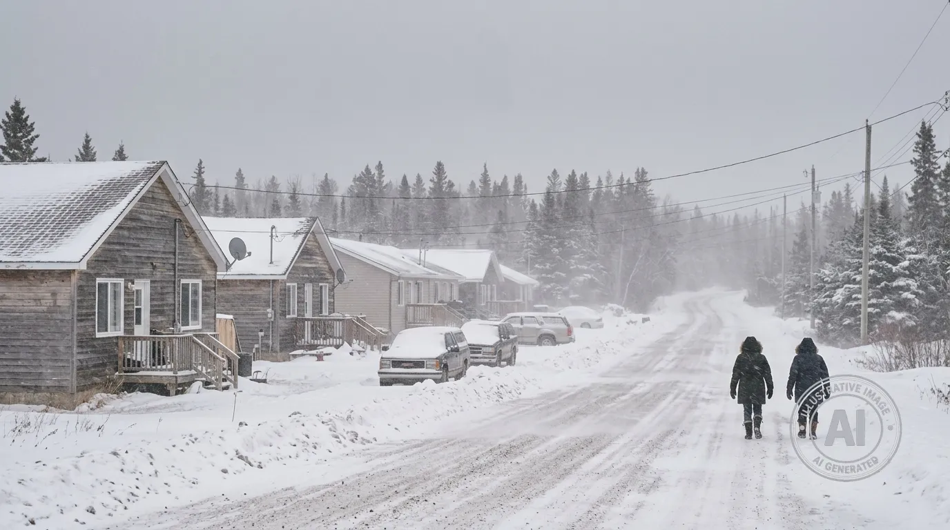
Residents of St. Theresa Point can expect significant snowfall through the day and into the night on Friday, April 17, 2026, as a late-season winter storm moves through the region.
Environment Canada and The Weather Network are calling for total snow accumulations between 10 and 15 centimetres. While the snow is expected to continue throughout Friday, there are currently no active weather alerts in effect for the fly-in community.
Temperatures will remain well below the seasonal norm for this time of year. Residents can expect a high of -7°C on Friday, with wind chill values making it feel as cold as -22°C during the morning hours. Data from the Island Lake Airport recorded a temperature of -10.3°C at 4:00 AM on Friday, accompanied by gusty winds.
Conditions are expected to improve throughout the weekend. Saturday will see lingering periods of snow with a high of -4°C, followed by clearing skies on Saturday night. Sunny weather is expected to return on Sunday with a high of 0°C, and temperatures are projected to climb to 11°C by Tuesday.
The snowfall in St. Theresa Point is part of a larger weather system impacting Manitoba. While southern regions of the province are dealing with concerns related to potential spring flooding, the northern community remains focused on managing the late-season winter weather.
