
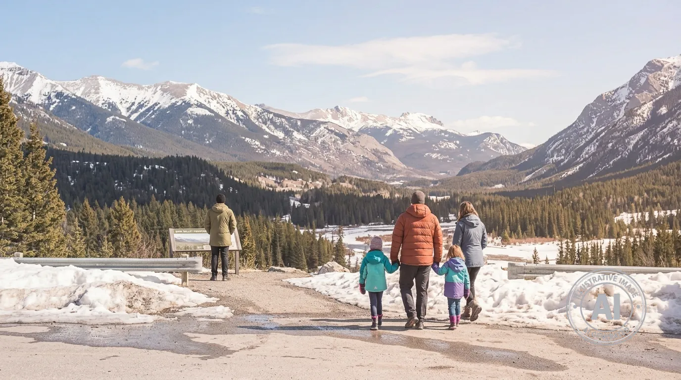
Residents and visitors in Banff can expect a stretch of warm and sunny weather to start the week before cooler conditions move into the region. According to Environment Canada, the town will see sunshine and daytime highs reaching between 15°C and 17°C through Tuesday, April 21, 2026. These temperatures are well above the seasonal average of 10°C for this time of year.
The weather is expected to change midweek as a shift in the regional pattern brings cooler air to the area. Rain is forecast to arrive on Tuesday night, followed by a 60 per cent chance of showers on Wednesday, April 22. By Thursday and Friday, temperatures will drop significantly, with overnight lows expected to reach -6°C on Thursday night and -7°C on Friday night. These cooler days may include flurries.
While the spring season brings warmer afternoons, Parks Canada notes that mountain weather remains highly variable. Temperatures in the region typically drop by about 1°C for every 200 metres of elevation gain, meaning conditions can change quickly for those heading to higher ground.
The Weather Network has reported that colder-than-normal conditions and above-normal precipitation are expected to dominate across Alberta through April. These conditions may help extend the spring ski season in the Rockies.
As of Sunday, April 19, 2026, there are no weather alerts in effect for Banff. This follows a volatile start to the spring season, which included an extreme avalanche cycle in late March. That event, involving controlled avalanche mitigation work by Parks Canada, resulted in a significant size 4 slide on Mount Hector that forced the temporary closure of the Icefields Parkway.

