
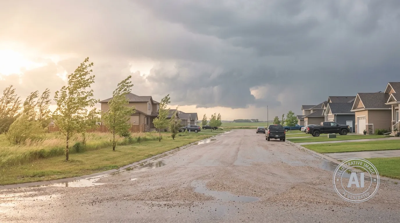
Residents in Niverville should prepare for a risk of severe weather as a low-pressure system moves across the prairies, bringing potential for thunderstorms through Thursday, April 23, 2026.
According to Environment Canada, local conditions are currently warm and humid, creating an unstable environment. While the forecast includes a mix of sun and cloud for today with a high of 25°C, there is a risk of thunderstorms this afternoon. That risk continues into the evening, with a 60 percent chance of showers and temperatures expected to drop to near 2°C overnight.
The Weather Network reports that this weather system may produce strong wind gusts and the potential for large hail. Forecasters are monitoring the area for the development of organized storm structures, known as supercells, as the system tracks northward.
Although there were no active weather alerts in effect for the Rural Municipality of Hanover as of 8:33 a.m. on Thursday, residents are encouraged to stay alert to changing conditions. The region is familiar with spring weather volatility, including a confirmed EF-0 landspout tornado that touched down southeast of Niverville in April of 2025.

