
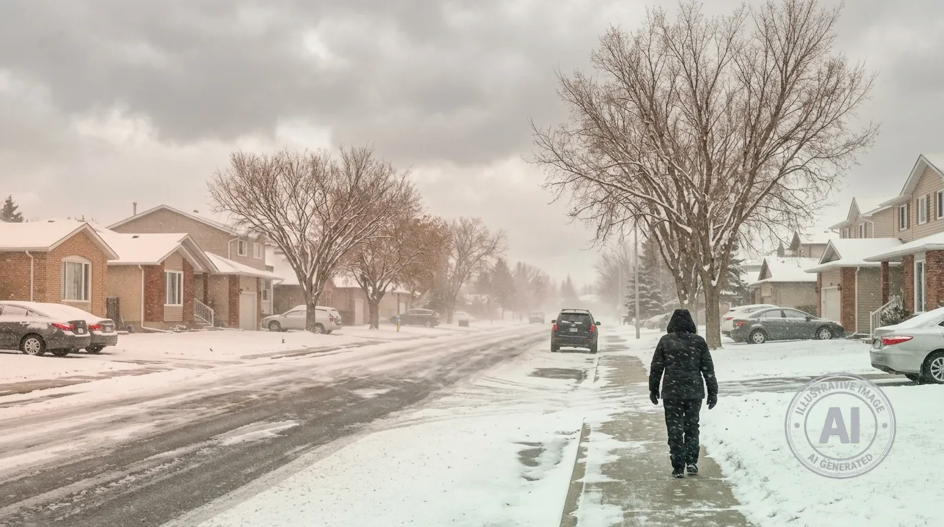
Residents of Fort Saskatchewan should prepare for wintry conditions as Environment Canada predicts a period of snow and heavy flurries lasting through Saturday, April 25, 2026. The incoming weather system is bringing cold temperatures and strong winds, which may create challenging travel conditions across the region.
The forecast indicates that snow will arrive today, with heavy flurries expected throughout the night. Total accumulations are projected to reach between 5 and 10 centimetres by Friday morning, with an additional 2 to 4 centimetres of snow anticipated during the day on Friday. Strong northwest winds gusting to 70 km/h will accompany the snow, potentially causing blowing snow and reducing visibility for drivers.
Temperatures will remain well below seasonal norms, with the mercury dropping to -4°C tonight and reaching a low of -7°C by Saturday night. Residents should be aware that wind chill values could feel as cold as -13°C on Friday morning, requiring extra caution for those spending time outdoors.
Environment Canada meteorologist Terri Lang noted that this type of weather is characteristic of the province, describing spring in Alberta as very volatile. She advised that residents should not be surprised by the return of winter conditions, as late-April snow events are not uncommon for the region.
Conditions are expected to improve starting Sunday, with a gradual warm-up heading into next week. Forecasters are calling for temperatures to rise to 4°C on Monday, 10°C on Tuesday, and reaching 14°C by Wednesday, offering a return to more typical spring weather.

