Environment Canada says Churchill, Manitoba can expect a steady warming trend this week, May 23-28, 2026, with daytime temperatures climbing into the mid to high teens and no weather alerts in effect for the region. The federal forecast calls for a cool start followed by sunnier, milder conditions that will make outdoor activities more comfortable for residents and visitors.
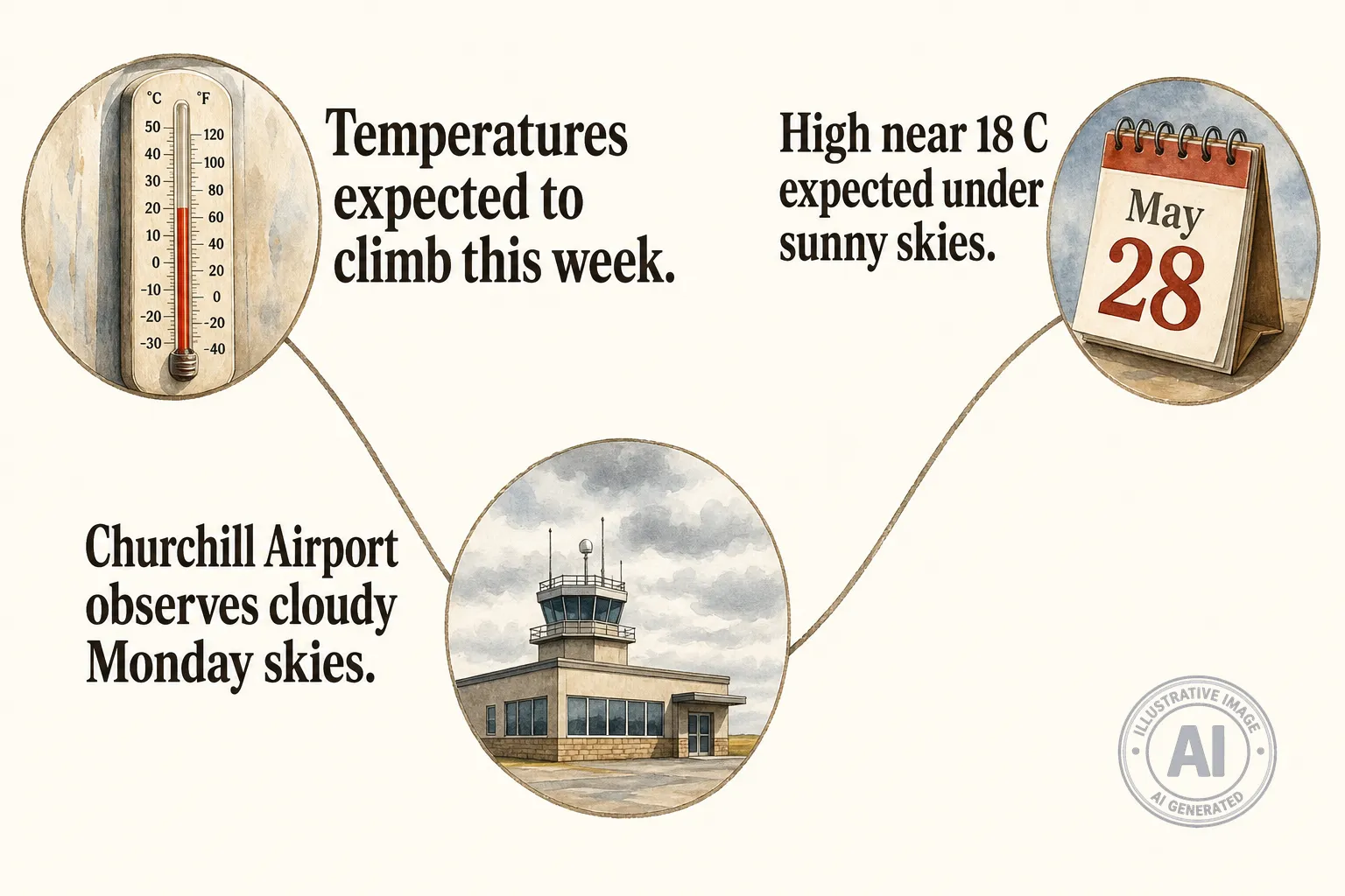
Current observations at the Churchill Airport on Monday, May 25, 2026 at 12:00 PM CDT showed cloudy skies and a temperature of 1.7°C, humidity at 95 percent and wind NNW at 22 km/h. Environment Canadas seven-day outlook shows highs of about 4°C on Monday, clearing to 6°C on Tuesday, a sunny Wednesday with a high near 13°C on May 27, and a mix of sun and cloud with a high around 18°C on Thursday, May 28, 2026.
Those forecast numbers sit well above late-May normals for Churchill, which list a typical maximum near 6°C and a minimum around -1°C, making Thursdays expected high roughly 12°C above the seasonal average. The regions cold, subarctic character means such warm stretches are notable: January averages about -25.2°C and July about 13°C, with sea ice commonly forming from December through April and light snowfall lingering from September into May, according to Climates to Travel.
All-time records underline Churchills wide temperature range, with a record high of 36.9°C set on August 11, 1991 and a record low of -45.4°C on February 13, 1979; the May record high is 28.9°C set in 2003, per data from ExtremeWeatherWatch. With no alerts in effect, the milder window this week should provide safer, more comfortable conditions for walking, local outings and seasonal tourism as the community moves into late May, Environment Canada says.
