
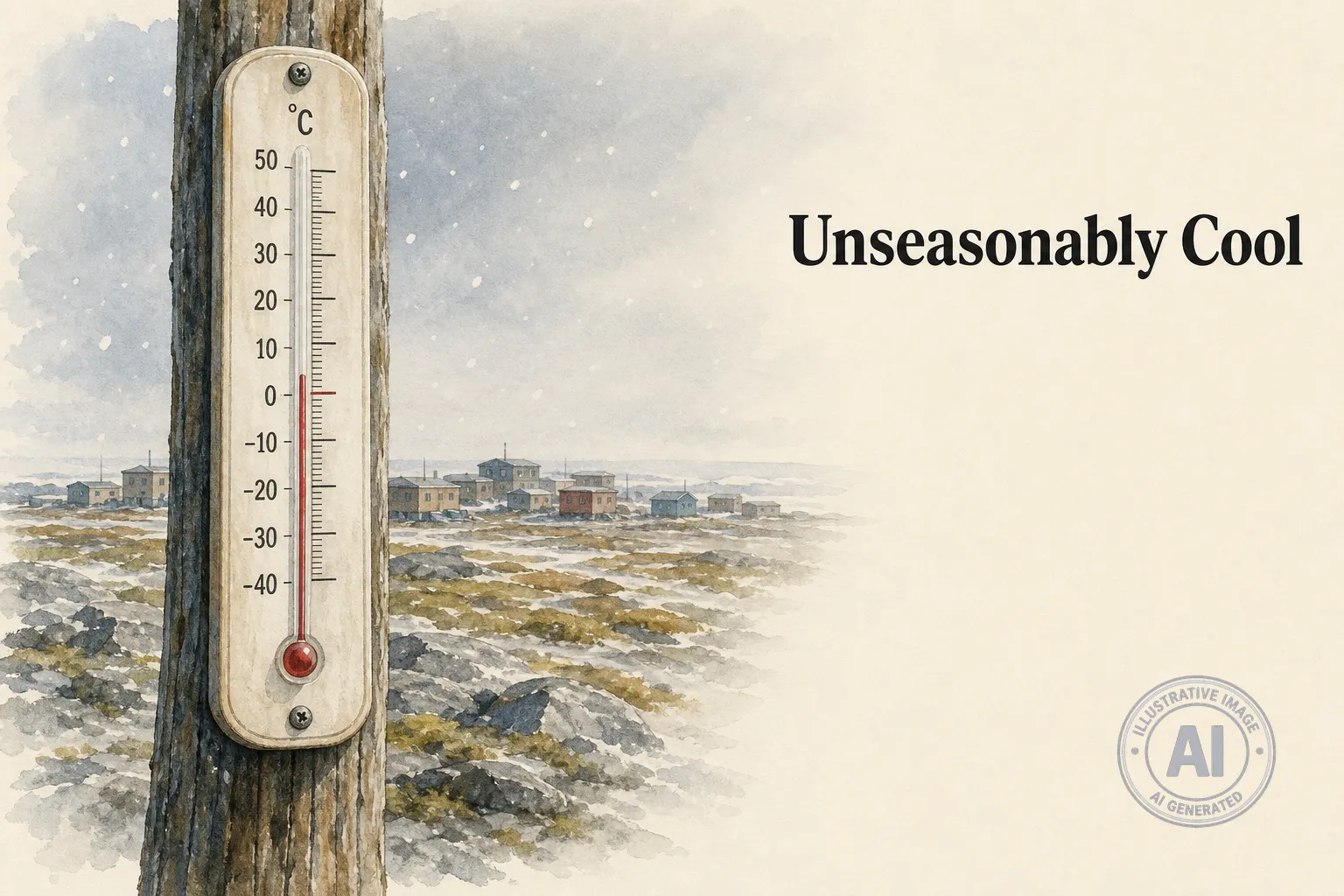
Tuktoyaktuk, a hamlet on the Arctic Ocean coast in the Northwest Territories, woke up to a chilly 2.5°C on Tuesday morning as unseasonably cool weather settled over the community for the week. Environment Canada recorded the temperature at the local airport at 9:00 AM, far below the normal July high of 16°C and even cooler than the typical overnight low of 7°C.
Daytime highs for the rest of the week are expected to range from 6°C to 19°C, with the coldest days likely on Thursday and Friday when the mercury will struggle to reach 6°C and 8°C. Overnight lows could dip to 2°C, and there is a 30% chance of drizzle Tuesday morning before clearing in the afternoon. Rain is forecast to return by mid-week, adding to the damp, cool conditions.
The chilly stretch follows a dramatic weather event on July 25, when snow fell across parts of the Northwest Territories. That storm brought strong winds to Tuktoyaktuk on July 24, with sustained speeds over 90 km/h and gusts beyond 130 km/h, causing power outages and damage to infrastructure. According to The Weather Network, the rare July snow was pushed into the region by a large low-pressure system that pulled frigid Arctic air southward, dropping temperatures more than 15 degrees below normal for this time of year.
Environment Canada has not issued any weather alerts for Tuktoyaktuk, but residents should be ready for the ongoing cool spell. The community, home to about 937 people, is used to crisp summers—its July mean temperature is barely above 10°C—but this week’s temperatures are still several degrees colder than usual.

