
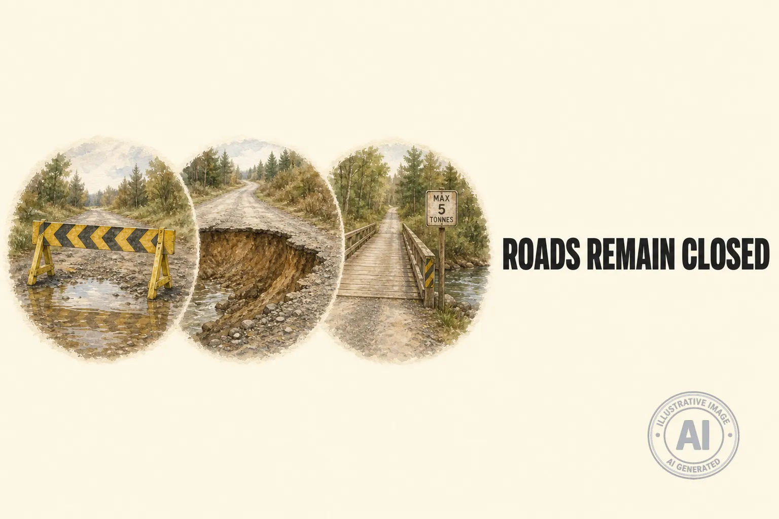
Camrose County has reopened one road damaged by recent flooding, but nine other routes across the county remain closed as crews deal with washouts and hidden damage. On July 23, 2026, the county lifted the closure on Township Road 491 between Range Roads 195 and 194A, according to a notice on the Camrose County website.
The remaining closed roads are all south of Highway 13, near the Battle River area, where heavy June rains followed years of drought. The closures affect Township Road 454 between Range Roads 183 and 181, Range Road 183 between Township Roads 484 and 490, Range Road 184 between Township Road 472 and Township Road 474, Range Road 184 between Township Roads 480 and 482, Range Road 184 between Township Roads 482 and 484, Range Road 190 between Township Road 462 and Highway 13, Range Road 195 north of Township Road 464, Range Road 203 south of Township Road 482, and Range Road 220 north of Township Road 616.
County officials warn that even where floodwater has receded, roads may still be unsafe. Surfaces, shoulders, and culverts could be undercut or washed out, with damage that is invisible from behind the wheel. Drivers are being told not to drive around barricades, and to check the county’s road restrictions map before heading out.
Four bridges have also been downgraded to a maximum five-tonne load limit after structural inspections found problems with how much weight they can carry. The affected bridges are BF7603, BF6517, BF7260, and BF77952, as listed in the county’s current road ban orders.
Public Works crews are keeping an eye on conditions and will begin grading and repairs once roads are dry enough. According to a July 3 update, grading too soon can do more harm than good, so the county waits until moisture levels are right for long-lasting fixes. The flooding came after parts of the Battle River watershed swung from extreme drought to one of the wettest periods in 50 years, leaving many rural roads in rough shape.

