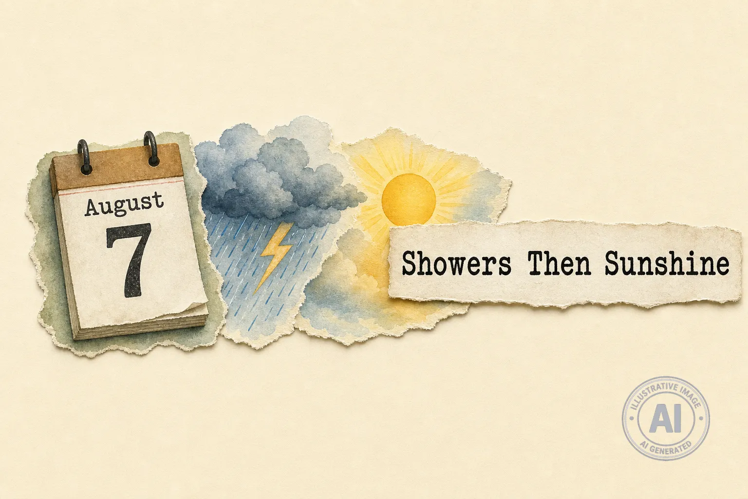
Sandy Bay residents can expect unsettled weather through mid-week before conditions improve for the weekend, according to the latest forecast from Environment Canada.
There is a 60 percent chance of showers Wednesday evening, along with a risk of thunderstorms. Similar conditions are expected to continue into Thursday afternoon before the system moves out. The humidex will make temperatures feel closer to 27°C during the day, with a high UV index of 6.
West winds will also be a factor, gusting up to 50 km/h on Wednesday and up to 60 km/h on Thursday. Strong winds can make outdoor activities more challenging and increase the risk of falling branches or debris.
As of Wednesday afternoon, Environment Canada reported no weather alerts are in effect for the area. However, residents should remain aware of changing conditions, particularly during the peak thunderstorm hours. The seasonal high for this time of year is 25°C, with an overnight low of 12°C.
The unsettled weather is typical for early August on the Prairies, which is among the regions most affected by summer thunderstorms in Canada. Manitoba’s severe weather guide notes that lightning is the greatest danger associated with summer storms, which can also bring hail and heavy rain.
Conditions are forecast to clear significantly by Friday, with sunny skies and temperatures of 23°C on Friday and Saturday. That should provide ideal weather for outdoor plans and community activities as the weekend approaches.