
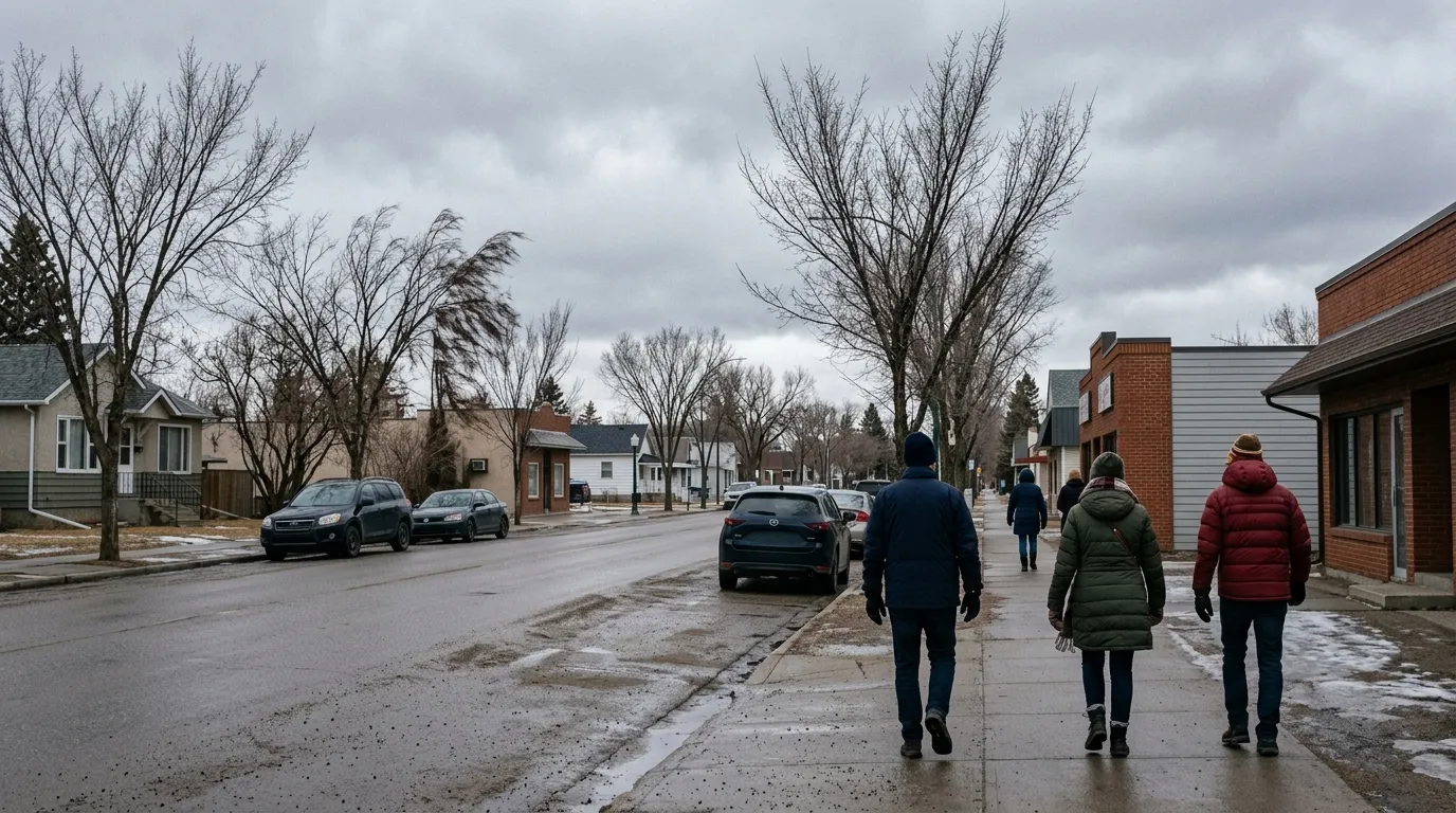
Residents of Fort Saskatchewan, Alberta, should prepare for a cool and overcast weekend as temperatures remain slightly below seasonal averages from April 3 to April 5, 2026. While no weather alerts are currently in effect, those planning to head out should dress in layers as wind chill values will make conditions feel significantly colder than the actual thermometer readings.
According to Environment Canada, Friday began with localized fog patches that are expected to dissipate throughout the morning. Residents can look forward to a daytime high of 4°C. The weekend continues with a mix of sun and clouds, as The Weather Network reports Saturday will be mainly sunny with a high of 5°C. However, breezy conditions are expected, with northwest winds reaching 30 km/h and gusts up to 50 km/h, which will drop the overnight feels-like temperature to -11°C.
Sunday will mark the coldest day of the weekend, with cloudy skies and a daytime high of 0°C. Overnight temperatures across the weekend are expected to dip between -1°C and -7°C. While the probability of precipitation remains low at 10 to 30 percent through Sunday, the weather is expected to turn by early next week, with a 60 percent chance of flurries and snow starting on Monday.
These conditions are slightly cooler than the city’s typical April climate normals, which generally see highs of 10°C and lows of -2°C. As the community continues to grow, with the 2024 municipal census placing the population at 29,857, residents are reminded that April in this region is known for its highly variable weather patterns.
For those interested in historical climate data, the month of April in Fort Saskatchewan typically sees about 6 days of precipitation and averages 244 hours of sunshine. For the latest updates on road conditions and safety, residents can monitor information from local climate and weather services as the transition from winter to spring continues.

