
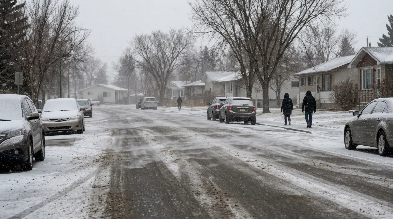
Residents of Fort Saskatchewan should prepare for winter-like conditions this week as Environment Canada forecasts between 5 and 10 centimetres of snow on Tuesday, April 7, 2026.
The snowfall is expected to begin on Monday, April 6, with periods of light snow starting near noon. Monday will also bring strong southeast winds gusting up to 60 kilometres per hour and a morning wind chill near minus 14 C. Temperatures on Tuesday will remain cool, with a high of 0 C and a low of minus 5 C overnight as the snow continues.
These conditions are colder than the typical April weather in Fort Saskatchewan, where historical daily highs average 7.4 C and lows sit around minus 0.9 C. However, light snow is not uncommon for the region, which averages about 8.9 days of snowfall throughout the month.
Spring snowstorms in Alberta can cause travel conditions to change rapidly, with visibility often reduced suddenly in heavy bands of snow. To stay informed about local travel, Alberta Transportation recommends checking road reports before heading out and advises avoiding non-essential travel during active winter storms.
Warmer weather is expected to return later in the week. By Friday, April 10, temperatures are forecast to reach 11 C, bringing a mix of sun and cloud to the community.

