
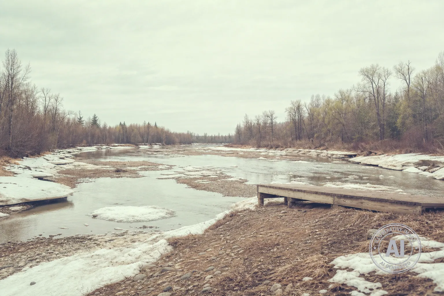
Water levels on the Hay River near the Town of Hay River are currently at record lows for this time of year, as the community watches the spring river rise progress roughly 12 days behind the timeline seen in 2025. While the snowpack in the Hay River basin remains at 119 percent of the normal level, cooler-than-average temperatures throughout March and April have delayed the melting process, keeping water levels significantly lower than average in the Northwest Territories.
According to the Government of the Northwest Territories Department of Environment and Climate Change, the ice on the river north of the Alberta border remains in place but is gradually weakening. As of May 4, 2026, the ice front was still located south of the territorial border. With current conditions characterized by low water levels and a slower, thermal melting process, experts suggest there is a reduced risk of the type of mechanical ice-jam flooding that can cause severe damage.
The Town of Hay River reported as of May 8, 2026, that the breakup is moving forward in a smooth and efficient manner, with no flooding reported in the area. Local officials and residents continue to monitor the situation, mindful of the region’s history with flooding. In May 2022, the community experienced a catastrophic event that resulted in an estimated $174 million in damages and required the evacuation of approximately 3,800 residents.
Forecasters expect temperatures in the basin to stay near or slightly above average for the week of May 4-10, 2026, with daytime highs around 10°C and overnight lows near freezing. While scattered showers are in the forecast, they are not expected to significantly impact river levels. Residents looking for real-time information can view the latest conditions through the Town of Hay River website webcams.

