
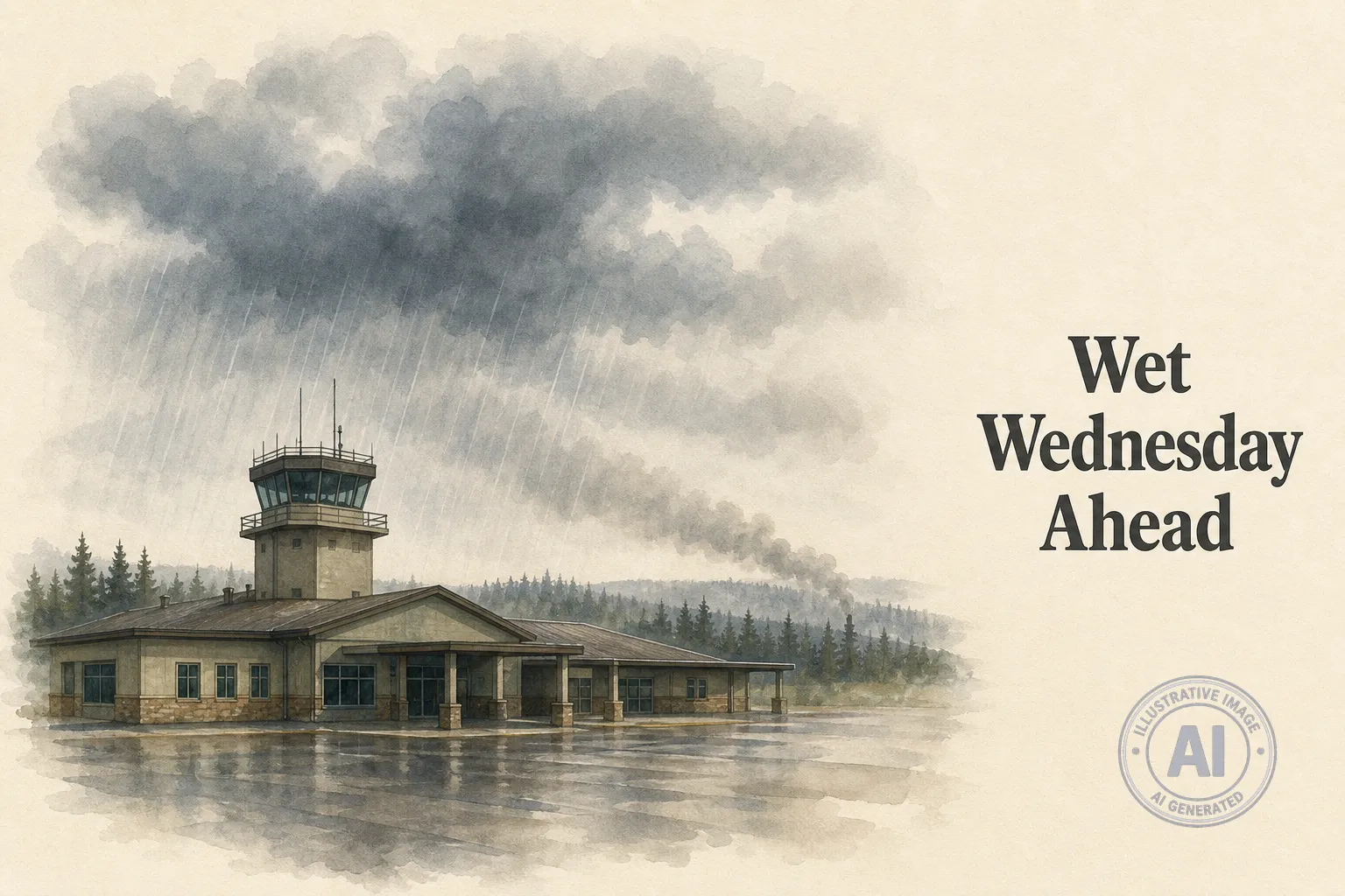
Environment Canada is calling for a wet Wednesday in High Level, Alberta, with periods of rain and a risk of thunderstorms throughout the day and into the evening. The forecast says between 10 and 20 millimetres of rain could fall, along with local smoke in the area. Winds are expected to pick up from the north at 20 km/h in the afternoon, with a daytime high of 16 C.
As of 3:00 p.m. MDT Wednesday, light rain was already falling at High Level Airport. The temperature sat at 10.9 C with humidity at 92 per cent. Wind was blowing from the north-northeast at 22 km/h, gusting to 35 km/h, and visibility was limited to eight kilometres.
Tonight, the rain is expected to taper off around midnight, but the thunderstorm risk will linger. Looking ahead, conditions will start to improve Thursday, though there is still a 30 per cent chance of showers under mainly cloudy skies and a high of 20 C.
By Friday, High Level residents can expect sunny skies and a high of 22 C. Saturday will stay sunny with temperatures climbing to 24 C, and Sunday will bring a mix of sun and cloud with a high reaching 25 C.
The stormy weather follows an active stretch of severe weather across Alberta in recent weeks, which brought strong winds, large hail, and tornado risks to parts of the province. Despite the current rain, Alberta Wildfire reports the fire danger in the High Level Forest Area remains low, with no wildfires of concern.

