
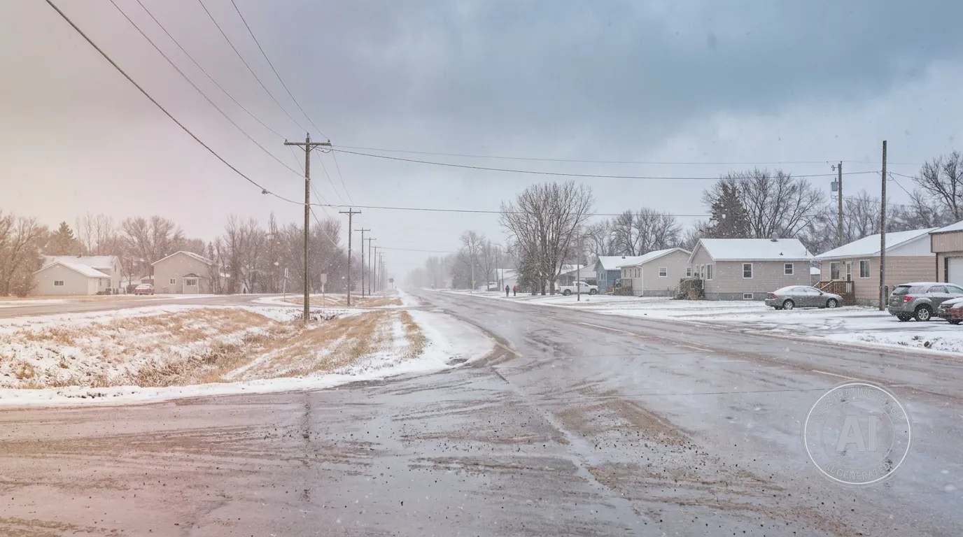
Residents of Neepawa should prepare for a sudden change in weather this week as temperatures are set to drop sharply following a mild Wednesday. According to Environment Canada, the community will experience a shift from a sunny high of 17°C on Wednesday, April 15, 2026, to a low of -5°C by Wednesday night.
The forecast includes a 60 percent chance of snow Wednesday night, along with a risk of freezing rain. The cooling trend will continue into Thursday, April 16, 2026, with periods of snow and a daytime high of -5°C. By Thursday morning, wind chills are expected to reach -12, making for significantly colder conditions than the seasonal norm of a 10°C high and -2°C low.
Travelers in the area, located at the intersection of Highways 5 and 16, should remain cautious as changing weather can create hazardous conditions on the roads. While no official weather alerts were in effect as of Wednesday morning, residents are encouraged to stay updated as conditions develop.
This weather pattern arrives while the Parkland region is already managing an elevated flood risk. According to the Manitoba Hydrologic Forecast Centre, the area is experiencing higher than normal concerns due to a snowpack that is nearly double the long-term average. The town of Neepawa, home to approximately 5,685 residents, is closely monitoring these conditions as the region navigates the potential for spring weather challenges.

