
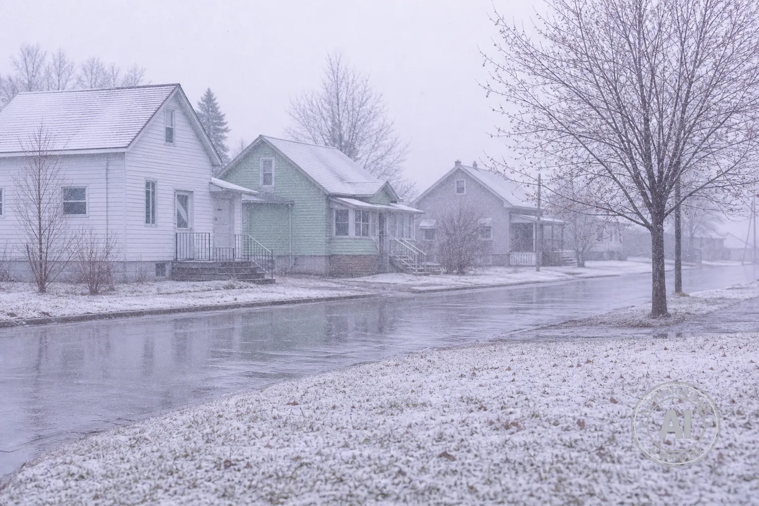
Residents of The Pas can expect a significant shift in the weather this week as a mild Wednesday gives way to a cold snap that will bring rain and potential snow by Friday. After a sunny Wednesday reaching a high of 19°C, temperatures are forecast to drop sharply over the next 48 hours.
According to Environment Canada, showers are expected to begin on Thursday, May 14, with a high of 16°C. By Friday, May 15, the weather will transition to rain or snow, with temperatures plummeting to an overnight low of -1°C. This cooling trend is expected to continue through Saturday, May 16, with a forecasted high of 5°C and an overnight low of -2°C.
The upcoming temperature swing represents a 20-degree drop from Wednesday’s peak. While mid-May in The Pas typically sees average highs of 16°C and lows of 3°C, the forecasted low of -1°C on Friday is significantly below normal for this time of year.
The Weather Network reports that this change is part of a broader system bringing late-season snow across multiple provinces. While mixed precipitation may extend into northern Manitoba, there are currently no active weather alerts for The Pas.
Those planning outdoor activities for the coming days may want to prepare for the cooler, unpredictable conditions. Detailed regional data can be found through the Current Results climate records.

