
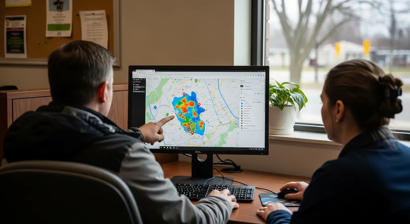
On March 23, 2026, the Durham Regional Police Service launched a new online tool to give residents across Durham Region direct access to crime maps and safety information to help the community stay informed about local trends.
The Community Safety Data Portal features online maps showing where crimes and traffic accidents happen across the region’s eight municipalities. It also shares records of hate crimes, details on when officers use force, and results from local safety surveys.
Residents can access the new tool at open-data-drps.hub.arcgis.com. The police service recommends using a desktop computer to get the best view of all the features and data maps.
Police Chief Peter Moreira said the portal is a step toward making the police force more modern and accountable to the people it serves. The Durham Regional Police Services Board oversees the force, which employs more than 900 officers and 300 staff members for a population of over 700,000 residents.
This launch follows a six-year Ontario Civilian Police Commission investigation into the police service that finished in 2025. That investigation looked into the workplace environment and resulted in 33 recommendations to improve how the police service operates.

