
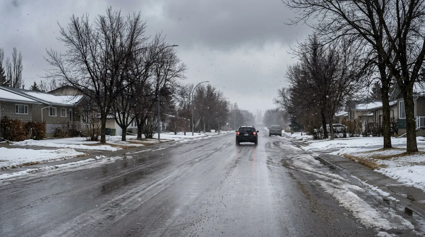
Residents in Blackfalds should prepare for a cool and unsettled week as light snow and chilly temperatures move through the region. While no formal weather alerts are currently in effect, Environment Canada reports that light snow and temperatures near -3 degrees Celsius are creating winter-like conditions this morning.
The forecast for the coming days remains variable. Temperatures are expected to climb to a high of 7 degrees Celsius by Monday, though residents should be aware of a significant wind chill near -9 degrees Celsius during the morning hours. A risk of freezing drizzle is also expected overnight tonight, which may lead to icy roads for early commuters. The region can expect a mix of cloud and flurries for much of the early week before conditions begin to warm up, with temperatures potentially reaching 13 degrees Celsius by Friday.
This cooling trend follows a seasonal outlook from The Weather Network, which notes that Alberta is experiencing a lingering winter pattern. The influence of La Niña and polar vortex activity has contributed to more precipitation and cooler temperatures than typically seen during this time of year.
Given the potential for slick surfaces on major routes like the Highway 2 corridor, drivers are encouraged to stay informed about changing road conditions. Residents can check for real-time updates and traffic information through 511 Alberta before heading out. While provincial guidelines do not mandate winter tires, they remain a recommended safety measure for navigating unpredictable spring weather in central Alberta.

