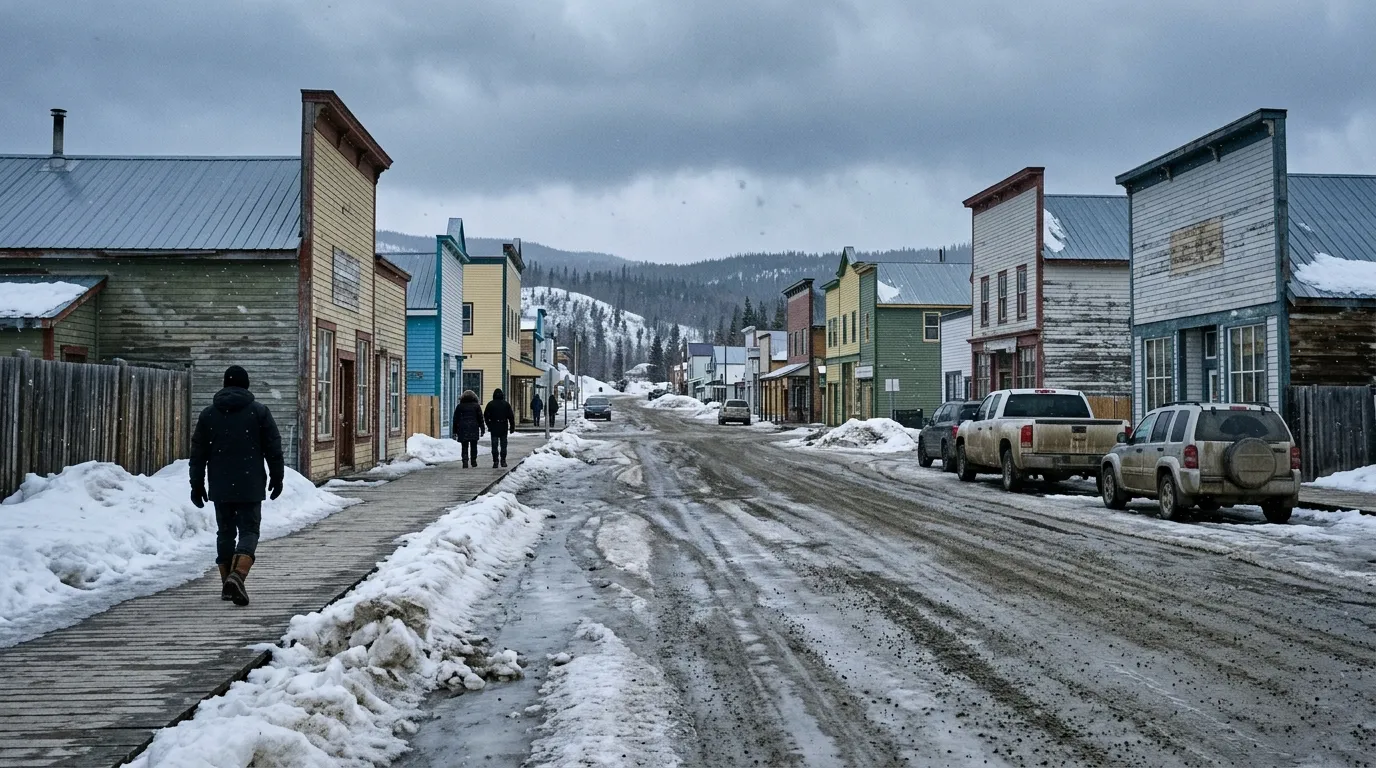
Residents in Dawson City should prepare for a chilly start to the week as Environment Canada forecasts a mix of flurries and cold wind chills before conditions clear up by the weekend.
Tuesday, April 7, is expected to bring increasing cloudiness with a 30 percent chance of flurries later in the day. The temperature will reach a high of 4°C, but morning wind chills will make it feel closer to -13°C. With roughly 14 hours of daylight, the local UV index is expected to remain low at 2.
Warmer, sunny conditions are expected to return starting Friday, April 10, and continue through the weekend. Despite the improvements, residents should remain prepared for cold nights, with temperatures dropping to -11°C on Thursday evening.
These cool temperatures align with seasonal outlooks from experts like Yukon government officials, who previously indicated that spring in this part of the territory could be colder and wetter than usual.
In addition to the weather, the Yukon government is reminding the community that the Klondike Valley has been identified as a higher-risk area for potential spring flooding. This is due to a winter that left the region with snowpack levels approximately 30 percent higher than normal for this time of year.
While April typically brings an average temperature of 0.4°C to Dawson City, the region is known for extreme temperature variations, having once recorded an all-time low of -58.3°C in 1947.
