
Residents of Morris, Manitoba, should prepare for a week of significant weather fluctuations as temperatures climb toward a mid-week peak before dropping back to winter-like conditions. According to The Weather Network, the community will see conditions shift from today’s chilly start to a high of 22 degrees by Wednesday, April 22, followed by a return to snow and cooler temperatures by Friday.
The warming trend is expected to begin Monday, April 20, as temperatures rise to 17 degrees. Tuesday and Wednesday will provide the best window for outdoor activities, with mainly sunny skies and the week’s highest temperatures. However, conditions will turn on Thursday, April 23, with a 60 percent chance of thunderstorms and 2 to 4 millimetres of rain. The weather will take a sharper turn on Friday, April 24, as the area experiences scattered flurries and wet snow, with temperatures dipping back to freezing.
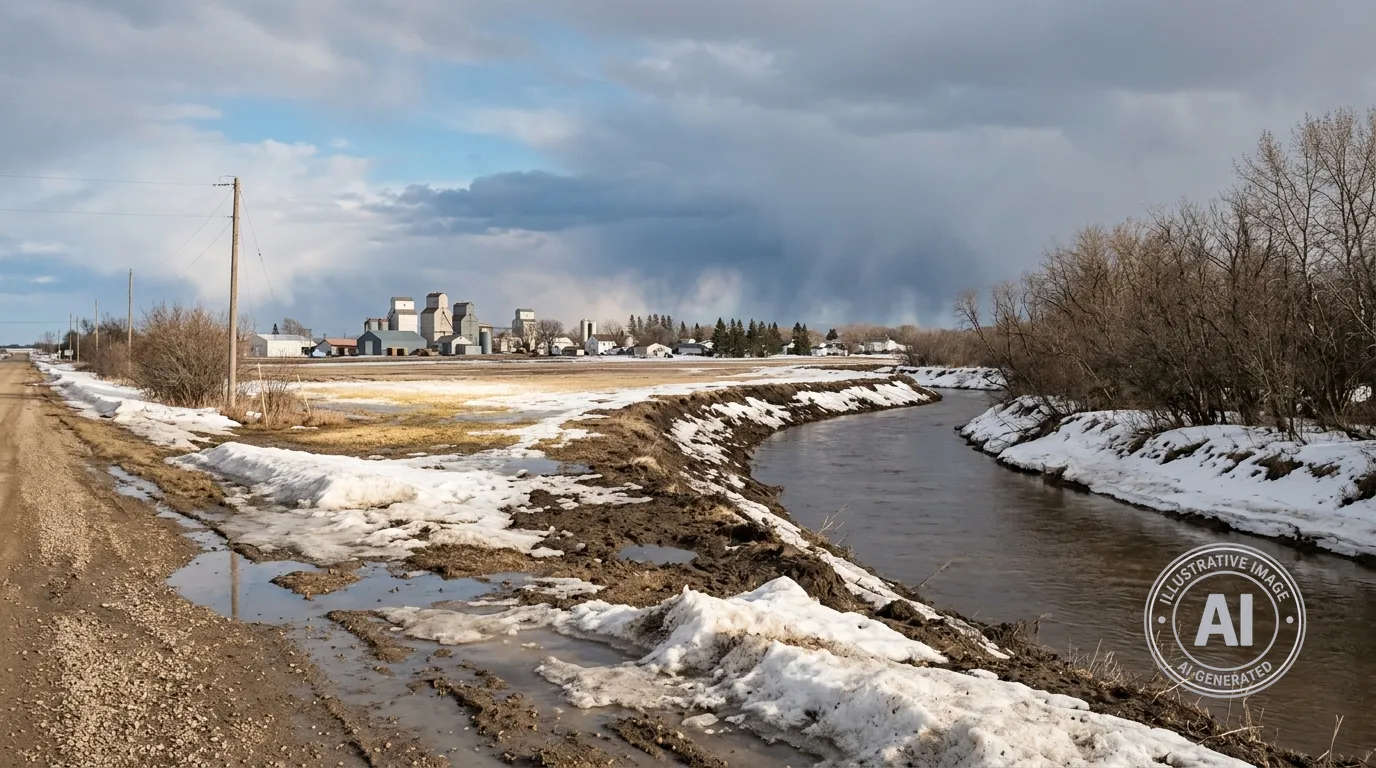
While the incoming warm weather is expected to increase the potential for rapid spring runoff, local impacts in Morris are currently expected to be minimal. Manitoba Transportation and Infrastructure notes that while tributaries like the Morris River are running high, they remain within their banks. Mayor Scott Crick confirmed that the province is not forecasting significant flooding concerns for the Morris area at this time, and major flood control infrastructure is not expected to be required for the region.
As the spring thaw continues, residents are reminded that seasonal road restrictions remain in place across the area. These rules are in effect until 11:59 p.m. on May 31, 2026, to help protect roads from damage during the freeze-thaw cycle.

