
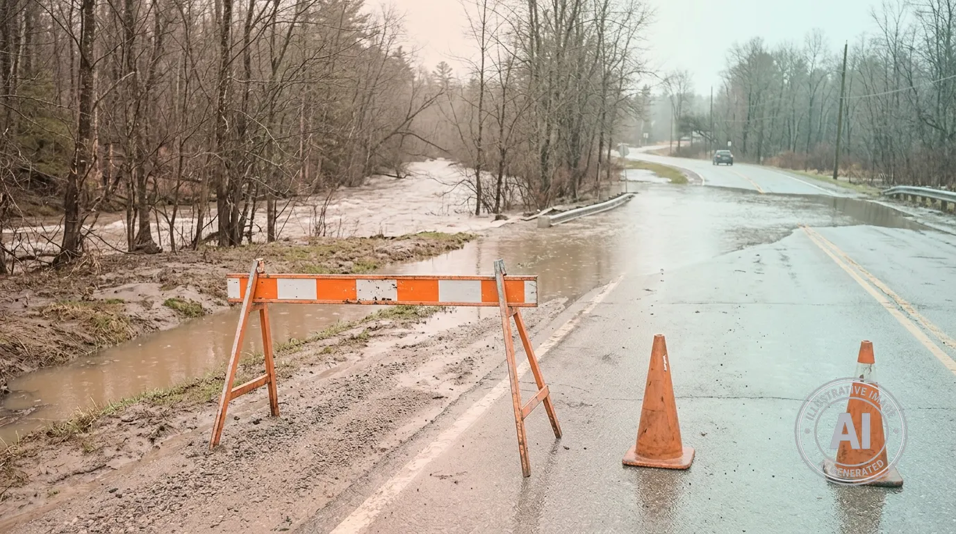
The Town of Bracebridge has closed two local roads and is monitoring several others as seasonal flooding impacts the community. As of April 20, 2026, officials reported that River Road, from Taylor Road to the Ann Street and Wilson’s Falls Road intersection, and Thompson Road, from Highway 118 east to the end of the road, are completely closed to traffic.
Eight other roads currently have water flowing over the surface but remain passable for drivers who proceed with caution. These include Germania Road, Matthiasville Road, Peterson Road, Power Point Road, Purbrook Road, Reay Road, Sherwood Forest Road, and Wilson’s Falls Road. The Ministry of Natural Resources has a flood warning in effect for the Bracebridge-Minden-Parry Sound District until Wednesday, April 22, 2026, due to high water levels in the Muskoka River Watershed and the Black River.
The current flooding is the result of warming temperatures, heavy rain, and melting snowpack, which have sent large volumes of water moving south through the regional watershed. While Bracebridge Mayor Rick Maloney has stated that water levels could approach those seen during the 2019 floods, he noted that the situation will depend on the amount of water moving through the system over the next 24 hours.
Local infrastructure and businesses are already feeling the effects of the rising water. For instance, the back section of the Santa’s Village theme park is currently submerged. Meanwhile, residents who rely on private wells are being urged to stop using them immediately if they are affected by the flooding and to seek an alternative water supply for drinking, cooking, and bathing.
The Town of Bracebridge Public Works Department is continuing to monitor the situation. For residents looking to protect their properties, free sand and sandbags are available for self-serve use at the Municipal Office, the Bracebridge Fire Station 2, and three other community locations.

