
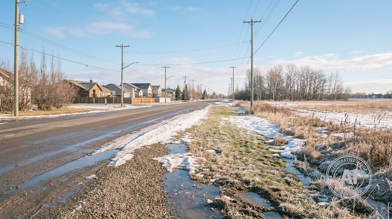
Residents of Leduc, Alberta, can expect a shift from brisk, chilly mornings to significantly warmer conditions by the end of the week. According to Environment Canada, the area will see temperatures climb from a daytime high of 6°C on Monday to 20°C by Thursday, April 30, 2026.
The week is beginning with a cold start, as temperatures near the Edmonton International Airport were recorded at -7.5°C at 7:00 AM on Monday, April 27, with a wind chill of -12. While the current weather is noticeably cooler than the historical average for this time of year, Environment Canada has issued no weather alerts for the region and is forecasting sunny skies with no chance of precipitation throughout the week.
This stretch of cooler temperatures follows a trend identified by The Weather Network, which predicted that colder-than-normal conditions would persist in Alberta through April. Looking toward next month, the seasonal forecast suggests a potential for a rapid transition to warmer and drier conditions. Experts warn that this quick change could accelerate spring snowmelt, leading to a heightened risk of localized flooding in areas prone to seasonal water accumulation.
To help residents manage potential risks associated with changing weather patterns, the City of Leduc maintains a climate action plan that monitors extreme weather threats such as flooding and water scarcity. Additionally, the Alberta Environment and Protected Areas department provides a public online tool for tracking flood hazards and provincial advisories.

